
Feature Story
The latest advanced instrument that will fly on NOAA’s next-generation Geostationary Operational Environmental Satellies
Feature Story
The truck delivering NOAA's Deep Space Climate Observatory spacecraft, or DSCOVR, enclosed in a protective shipping container
Feature Story
The upcoming Deep Space Climate Observatory (DSCOVR), a satellite designed to monitor and warn of harmful solar activity that could impact Earth, rece
Feature Story
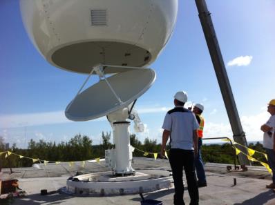
Latest Antenna to Directly Receive Suomi Npp Polar Satellite Data Now Installed.
Satellite Snapshots
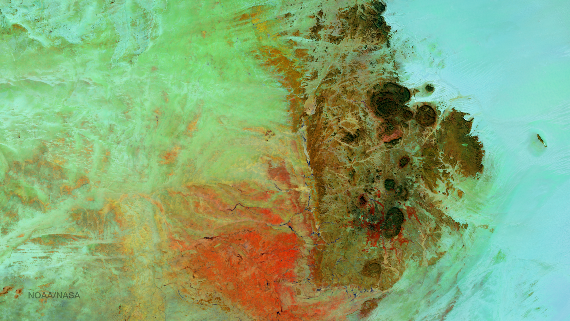
Located in the Saharan Desert (northern Niger), the Air Mountains rise over one mile high, creating unique micro-climates and…
Feature Story
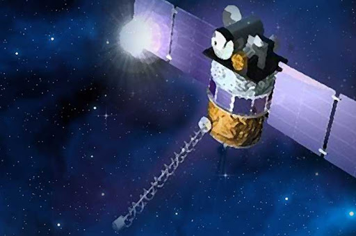
The Deep Space Climate Observatory (DSCOVR), a mission lead by the National Oceanic and Atmospheric Administration (NOAA) in partnership with NASA and
Satellite Snapshots
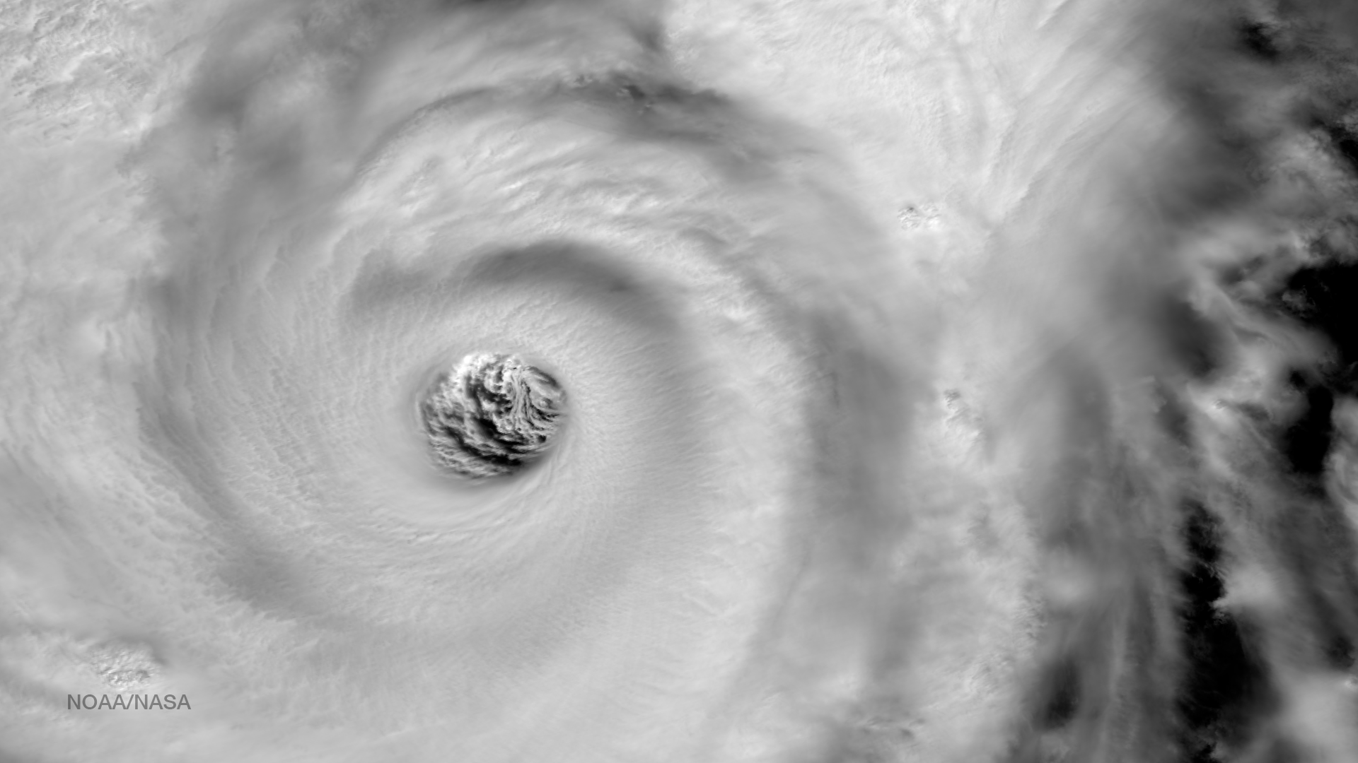
High resolution imagery from the VIIRS instrument on the Suomi NPP satellite shows a highly detailed view of the eye of Super…
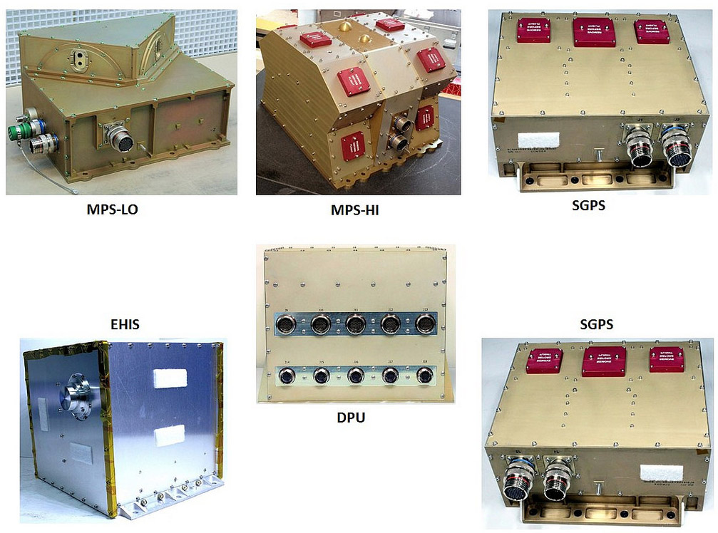
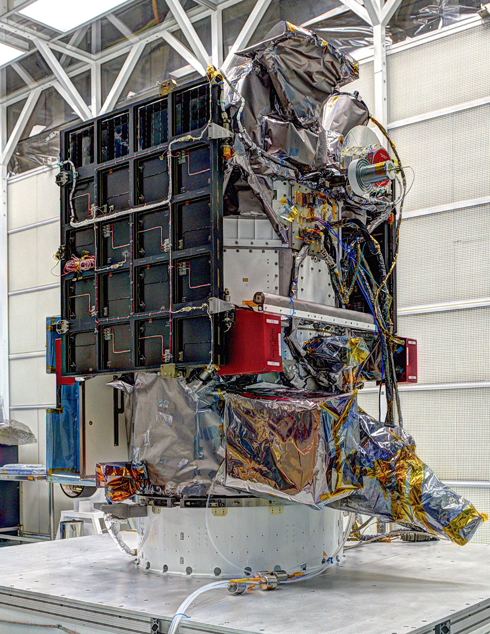
Feature Story
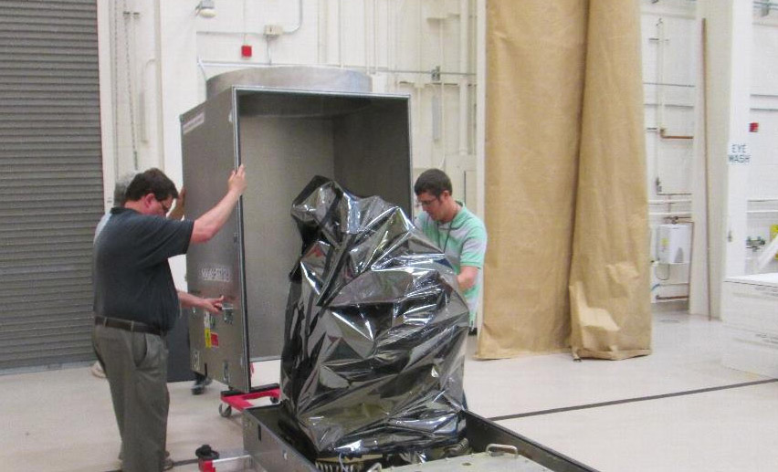
Final GOES-R instrument ready for integration with the Spacecraft The Geostationary Lightning Mapper (GLM) was unwrapped…