
Satellite Snapshots

This GOES East image shows a sprawling storm system across large portions of the Midwest, South, and Eastern U.S.
Satellite Snapshots
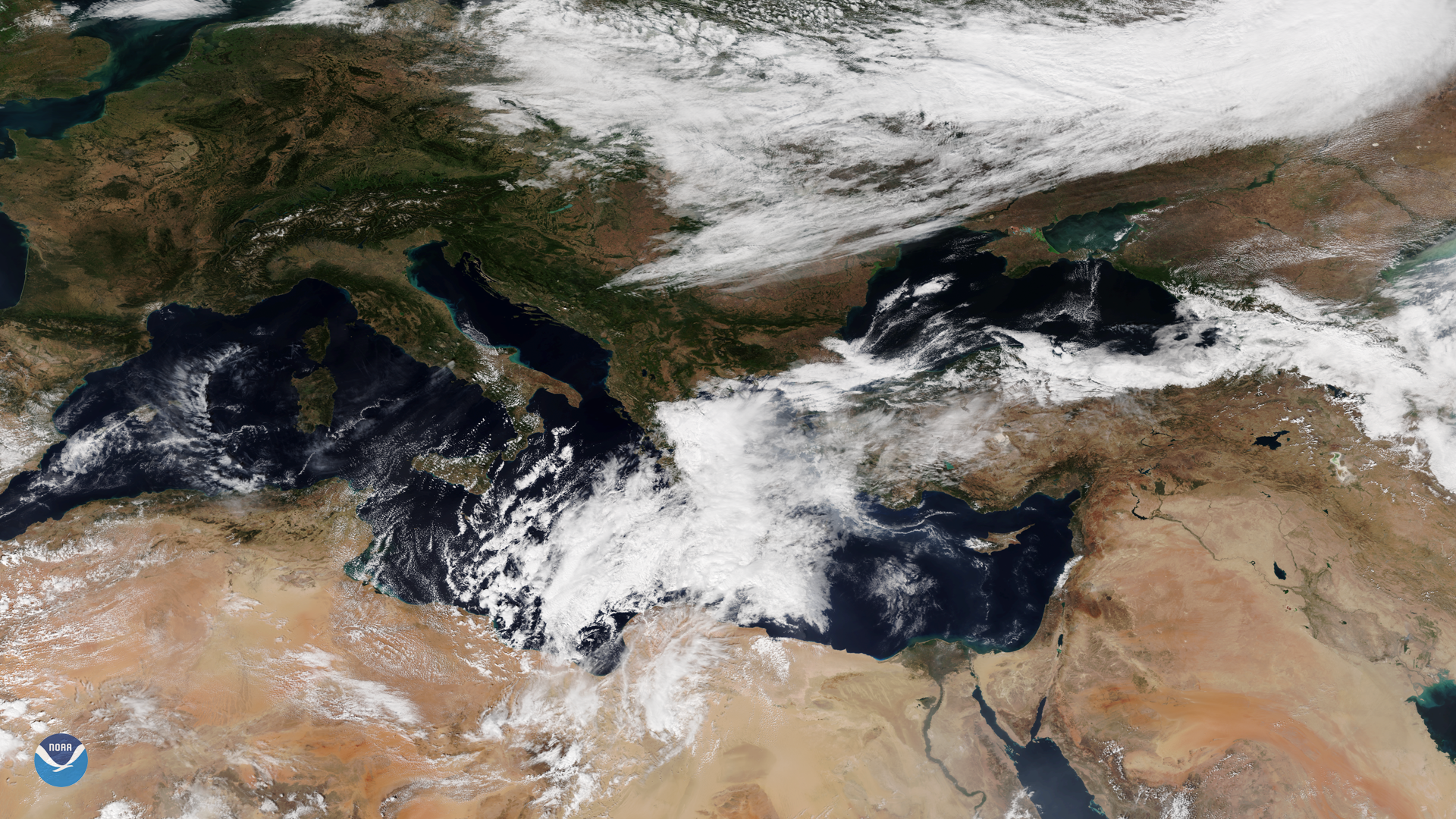
A tropical-like cyclone, known as a medicane, was seen by the NOAA-20 satellite over the Mediterranean Sea on Sept. 27, 2018.
Satellite Snapshots

Hurricane Rosa south of the Baja Peninsula September 27, 2018
Satellite Snapshots

Less than ten days after Super Typhoon Mangkhut battered the Philippines and southern China, another powerful tropical cyclone is…
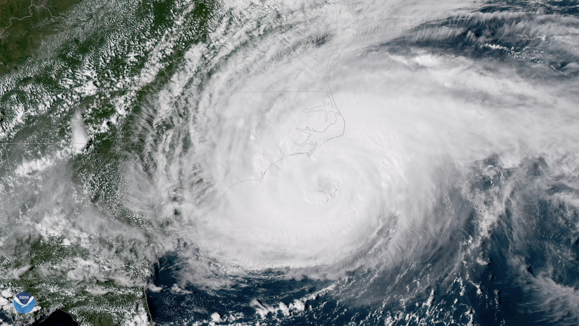
Satellite Snapshots
GOES East captured imagery of Tropical Storm Florence over the Carolinas on Sept. 15, 2018.
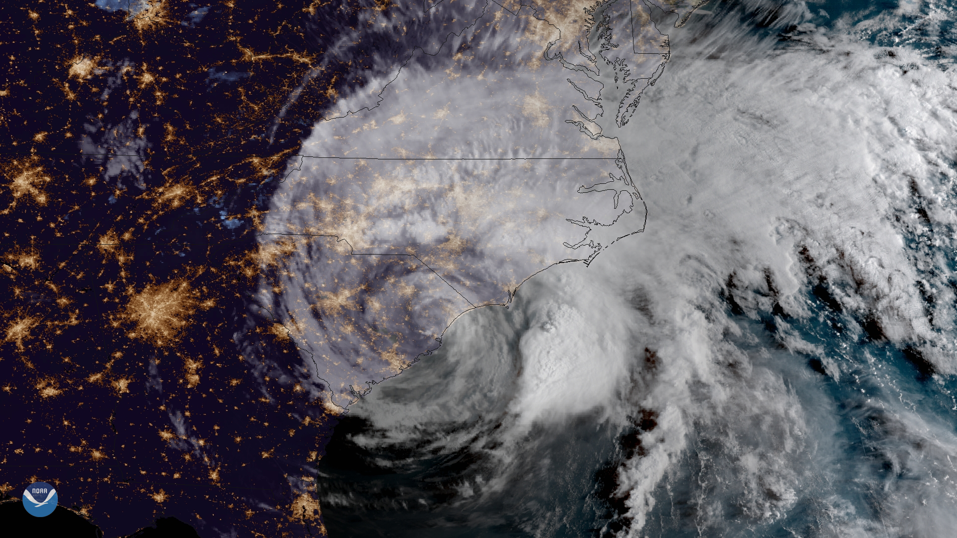
Satellite Snapshots
The outer bands of Hurricane Florence batter the North Carolina coast, September 13, 2018
Satellite Snapshots
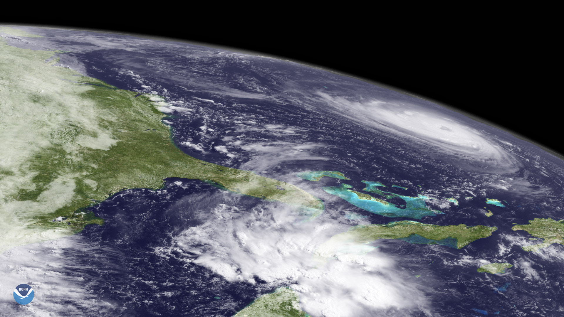
Florence appears at the northeast edge of GOES West's coverage area, over the western Atlantic Ocean
Feature Story

One of the strongest storms ever recorded in the Atlantic, Hurricane Irma left behind a trail of destruction from the Caribbean to the Florida Keys.