
Feature Story
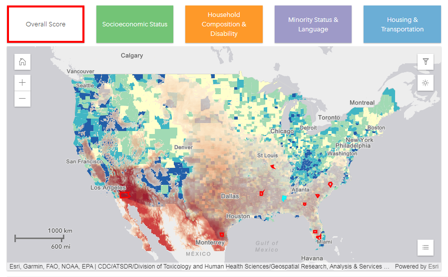
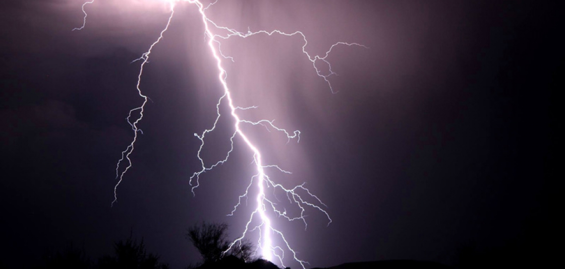
Unusually hot days are becoming much more common. Prolonged periods of these unusually hot days - known as heat waves - are…
Satellite Snapshots
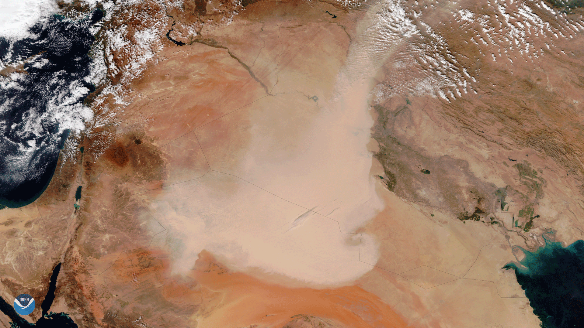
The Visible Infrared Imaging Radiometer Suite (VIIRS) aboard the NOAA/NASA Suomi NPP satellite captured this true-color image of a…
Feature Story
This is a collection of weather imagery from JPSS-1. NOAA’s Joint Polar Satellite System (JPSS) provides global observations that serve as the backbone of both short- and long-term forecasts, including those that help us predict and prepare for…
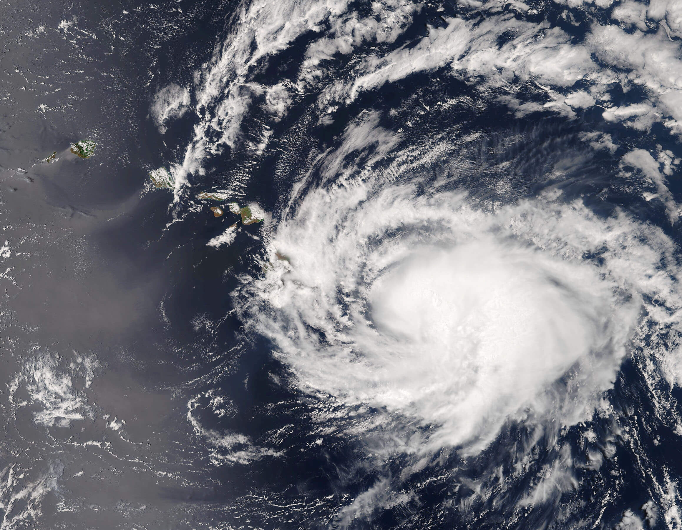
Satellite Snapshots

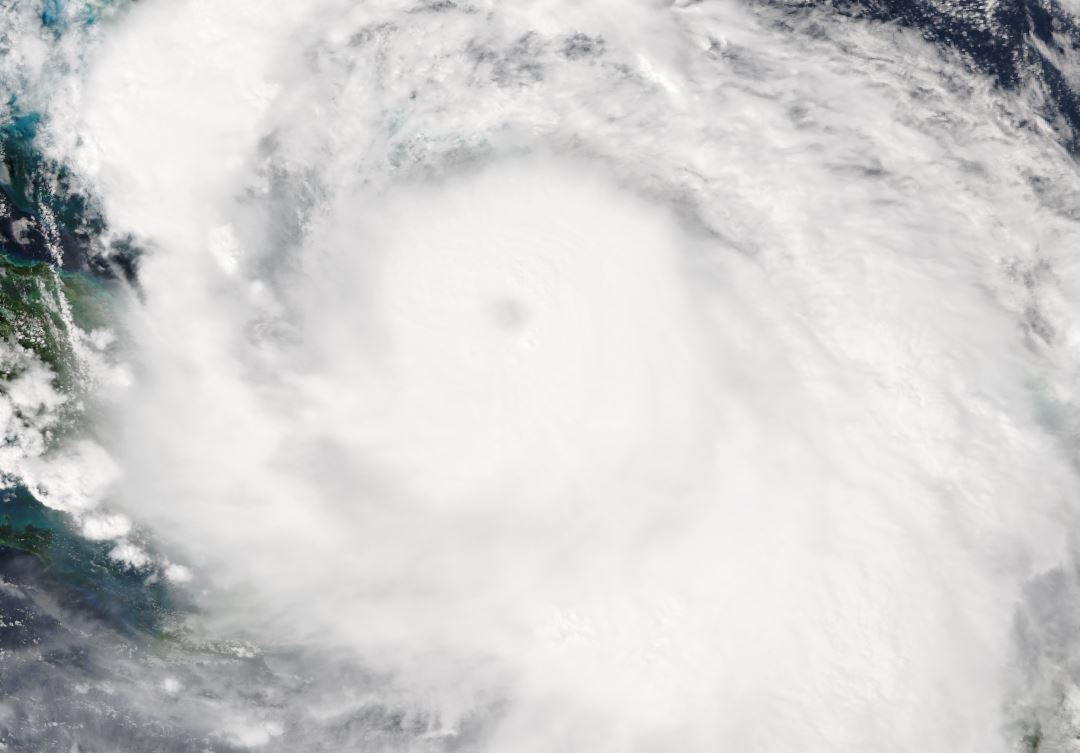
GOES-16 captured this image of Tropical Storm Harvey traversing the Windward Islands and entering the Caribbean Sea on August 18,…
Feature Story
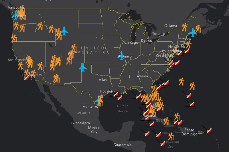
Summer is here! For many of us, that means summer vacations, and, in general, more time spent outdoors. But we wondered:…
Satellite Snapshots
GOES East captured imagery of a derecho that tore through the north-central Plains on July 19, 2017.
Feature Story
It’s mid-April 2017 and NOAA’s GOES-16 Field Campaign , a two-month-long effort to calibrate and validate the earth viewing…
Feature Story
Get ready for the coming 2017 Atlantic Hurricane Season by familiarizing yourself with these three common hurricane-related…