
Satellite Snapshots
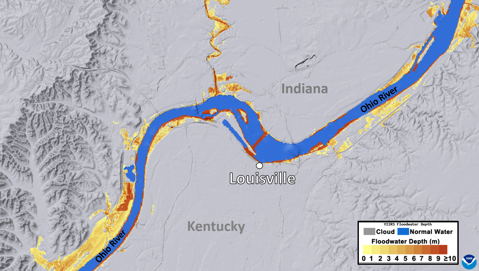
NOAA's JPSS Program satellites captured flooding along the Ohio River on April 7, 2025.
Satellite Snapshots
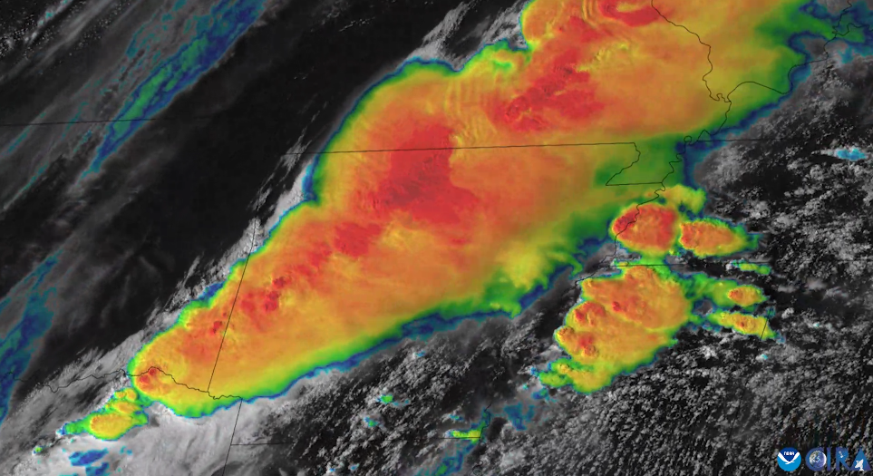
On April 2, 2025, NOAA’s GOES East (GOES-16) satellite captured imagery of numerous severe thunderstorms erupting across the Mississippi and Ohio river valleys.
Feature Story
NOAA satellites closely monitored a powerful and devastating storm system that tore through the central and eastern United States from March 14-16, 2025.
Feature Story
NOAA satellites closely monitored a powerful and devastating storm system that tore through the central and eastern United States from March 14-16, 2025.
Feature Story
From their orbits, NOAA satellites can play a vital role in detecting and tracking severe weather, providing forecasters with critical data to predict and monitor life-threatening conditions.
Feature Story
From their orbits, NOAA satellites can play a vital role in detecting and tracking severe weather, providing forecasters with critical data to predict and monitor life-threatening conditions.
Feature Story

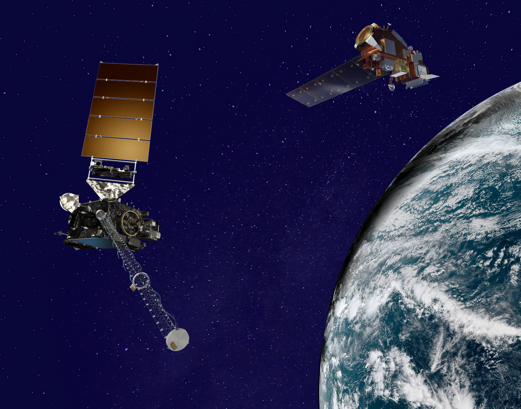
LEO satellites provide critical atmospheric, oceanic, and terrestrial data, enhancing NWS forecasts for severe weather, flooding, and other hazards.
Satellite Snapshots

This before-and-after imagery of the Lower Mississippi River Valley shows the impact of heavy rainfall and flooding that struck the region in mid-February 2025.