
Feature Story
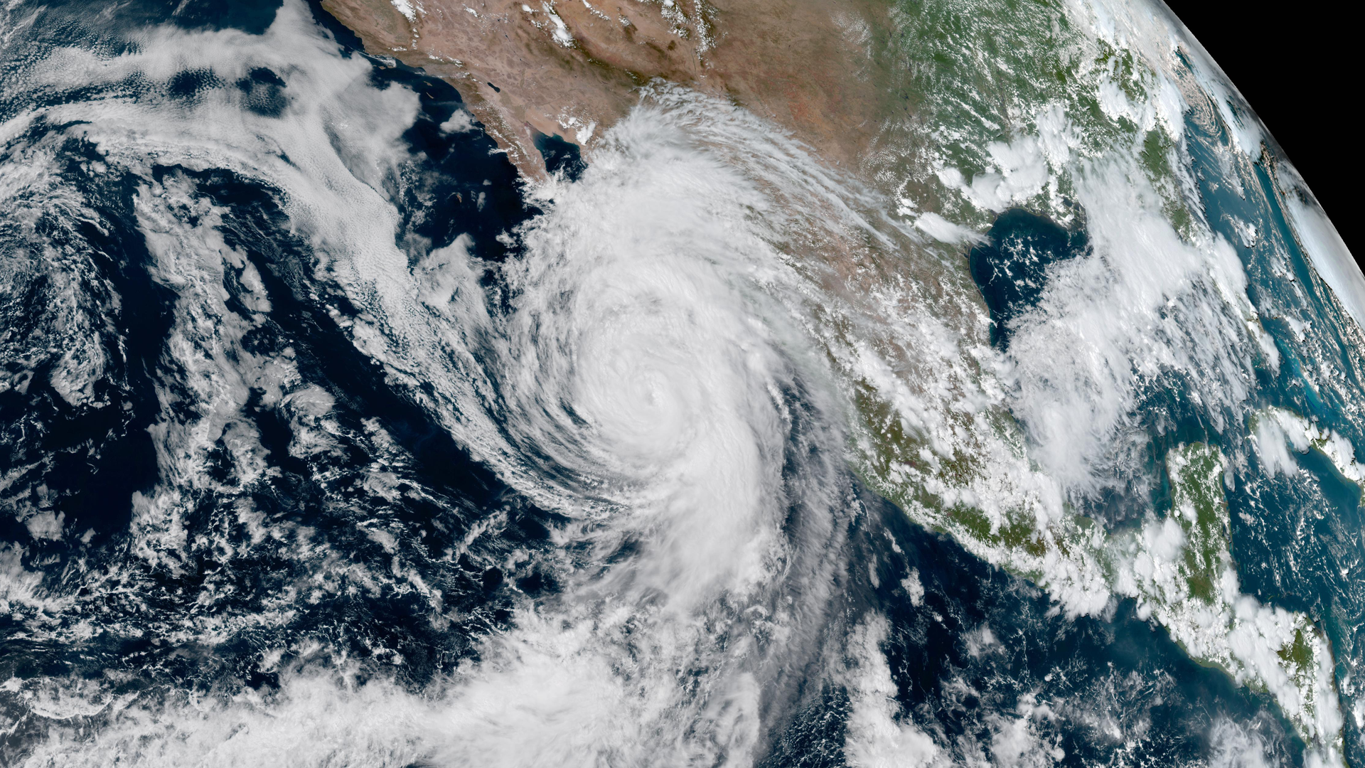
NOAA prepares forecasters for early availability of GOES-18 data during the 2022 Atlantic Hurricane Season.
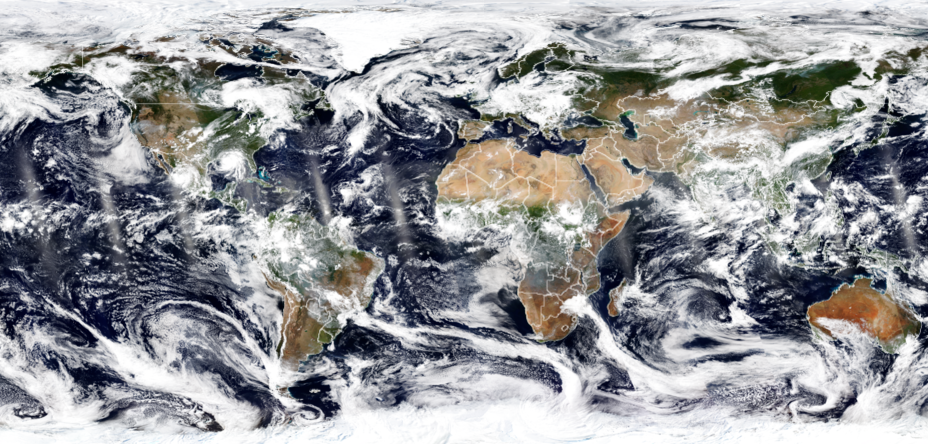
Earth from Orbit

Temperatures have soared to record-breaking highs across Europe. In the United Kingdom, at least 34 sites have exceeded the previous national records.
Earth from Orbit
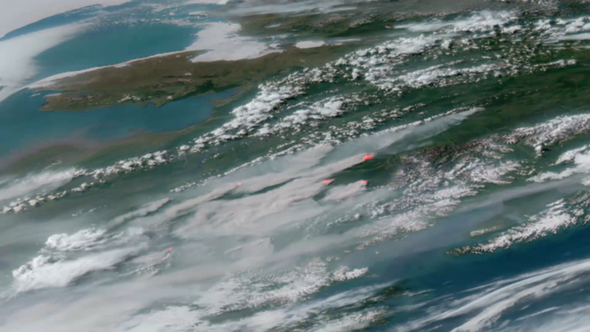
June 2022 saw a record number of fires burning across Alaska, which have compromised air quality and stretched firefighting resources thin.
Earth from Orbit
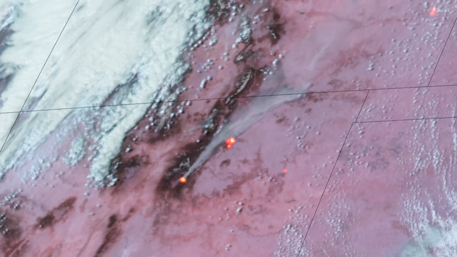
Fire season in the Southwest and High Plains arrived early this year, fueled by gusty winds, low humidity, and dry conditions.
Feature Story

At 4:10 UTC on 15 January 2022, the Hunga-Tonga Volcano in the South Pacific erupted.The eruption occurred about 40 miles north of Tonga's capital Nuk
Satellite Snapshots
On the afternoon of Thursday, Dec. 30, the GOES East satellite captured GeoColor imagery of the rising smoke plume from the quick-moving Marshall fir
Feature Story
With their lofty view from space, NOAA satellites see the awe-inspiring beauty and the sobering destruction Mother Nature creates across our dynamic p
Satellite Snapshots

Imagery from the GOES West (GOES-17) satellite shows a large smoke plume from the Alisal Fire in California, exacerbated by strong winds.