
Feature Story

Whether you're celebrating a lasting bond or a new connection, our space-inspired Valentine’s Day cards offer a unique way to send a heartfelt message—straight from orbit to someone special!
Satellite Snapshots

NOAA Satellites Show Changes in the Great Salt Lake Over Twelve Years Through Enhanced Color Imaging
This series of 26 enhanced color images via NOAA’s Joint Polar Satellite System (JPSS) Program satellites shows the water level changes in Utah’s Great Salt Lake from May 2012 to Nov. 2024.
Feature Story
A rare winter storm highlighted both the impacts extreme weather can have on our lives and the vital role NOAA satellites play in monitoring and forecasting these events.
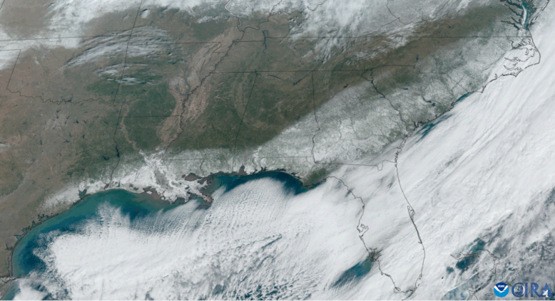
Feature Story
A rare winter storm highlighted both the impacts extreme weather can have on our lives and the vital role NOAA satellites play in monitoring and forecasting these events.
Feature Story

Learn more about Katherine Hawley, a LEO User Engagement Scientist with NOAA’s Office of Low Earth Orbit Observations (LEO).
Feature Story
The new year has gotten off to a cold and snowy start with a polar vortex affecting much of the United States along with the first coast-to-coast storm of 2025.
Feature Story
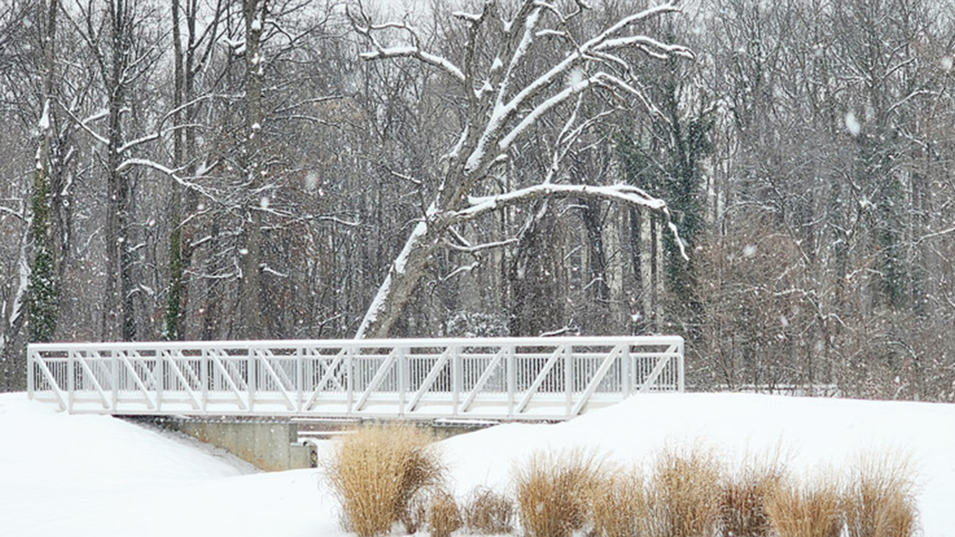
As a winter storm brought its fury to Washington, D.C. and the Mid-Atlantic region on January 6, 2025, NOAA’s National Environmental Satellite, Data, and Information Service played a pivotal role in monitoring and supporting the nation’s response to…
Feature Story

From all of us celebrating on Earth—and in orbit—here’s to a new year of global cooperation, cutting-edge technology, and better understanding of our planet.