
Satellite Snapshots
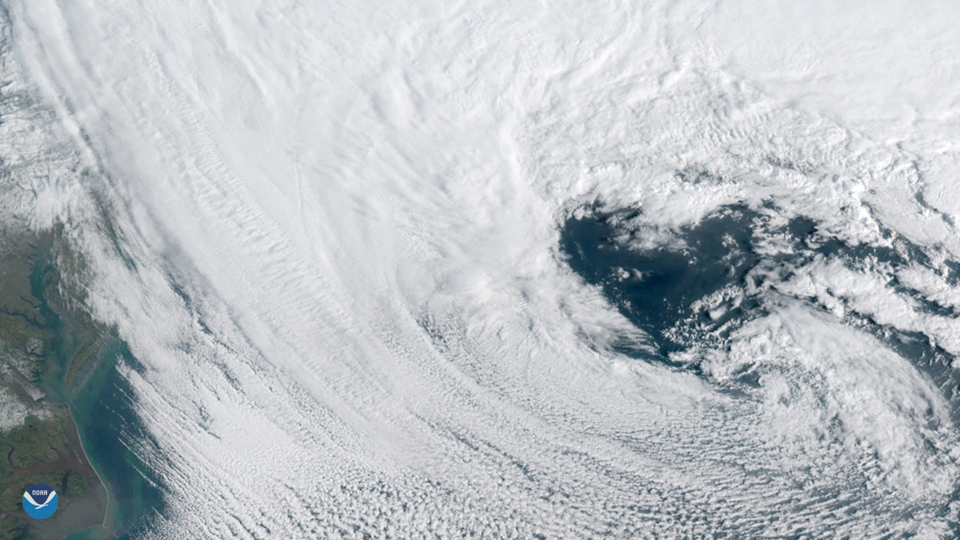
GOES East spied this heart-shaped cloud pattern within a powerful nor'easter that barreled up the U.S. East Coast on March 13, 2018.
Satellite Snapshots
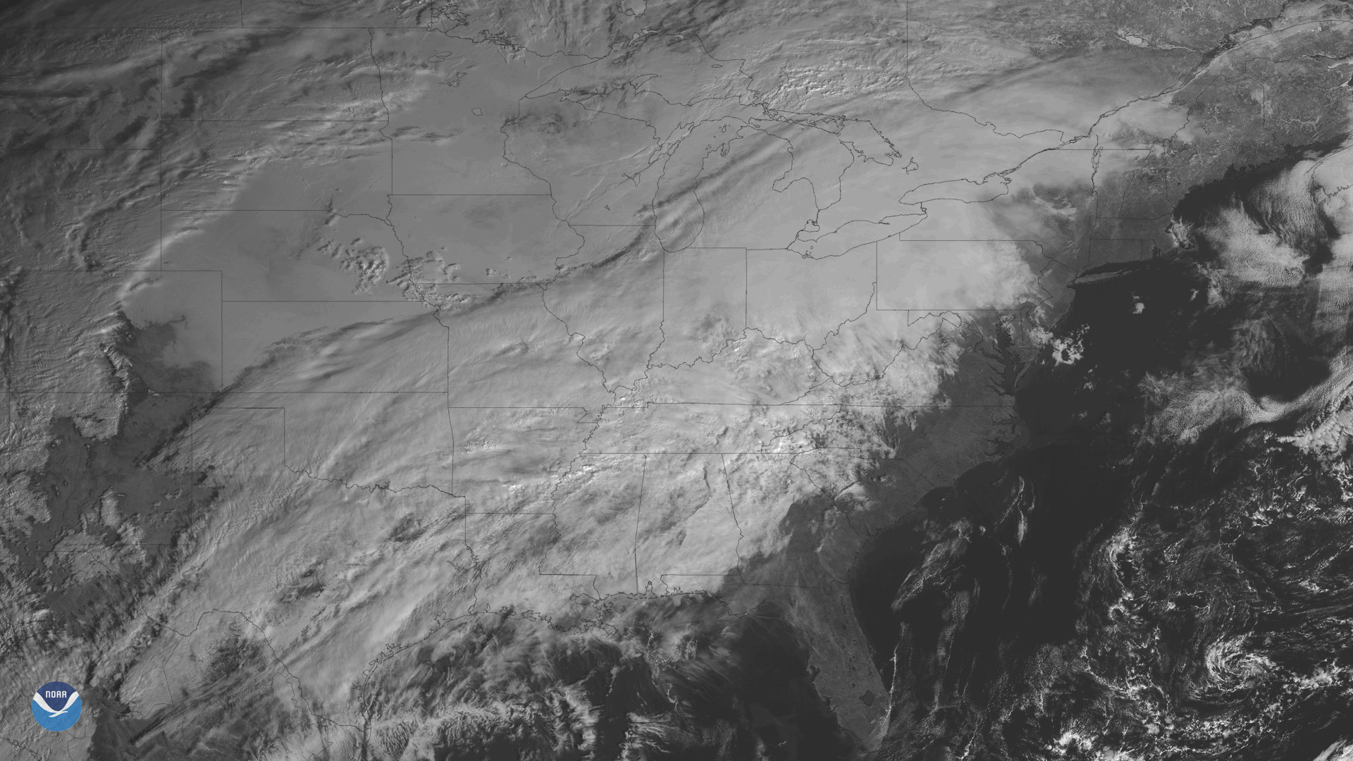
The GOES East satellite is watching a developing storm system bringing wintry weather to many states east of the Rockies.
Feature Story
On the first day of Christmas the scientists gave to me...the World Magnetic Model? OK, fair warning, this isn’t your…
Satellite Snapshots
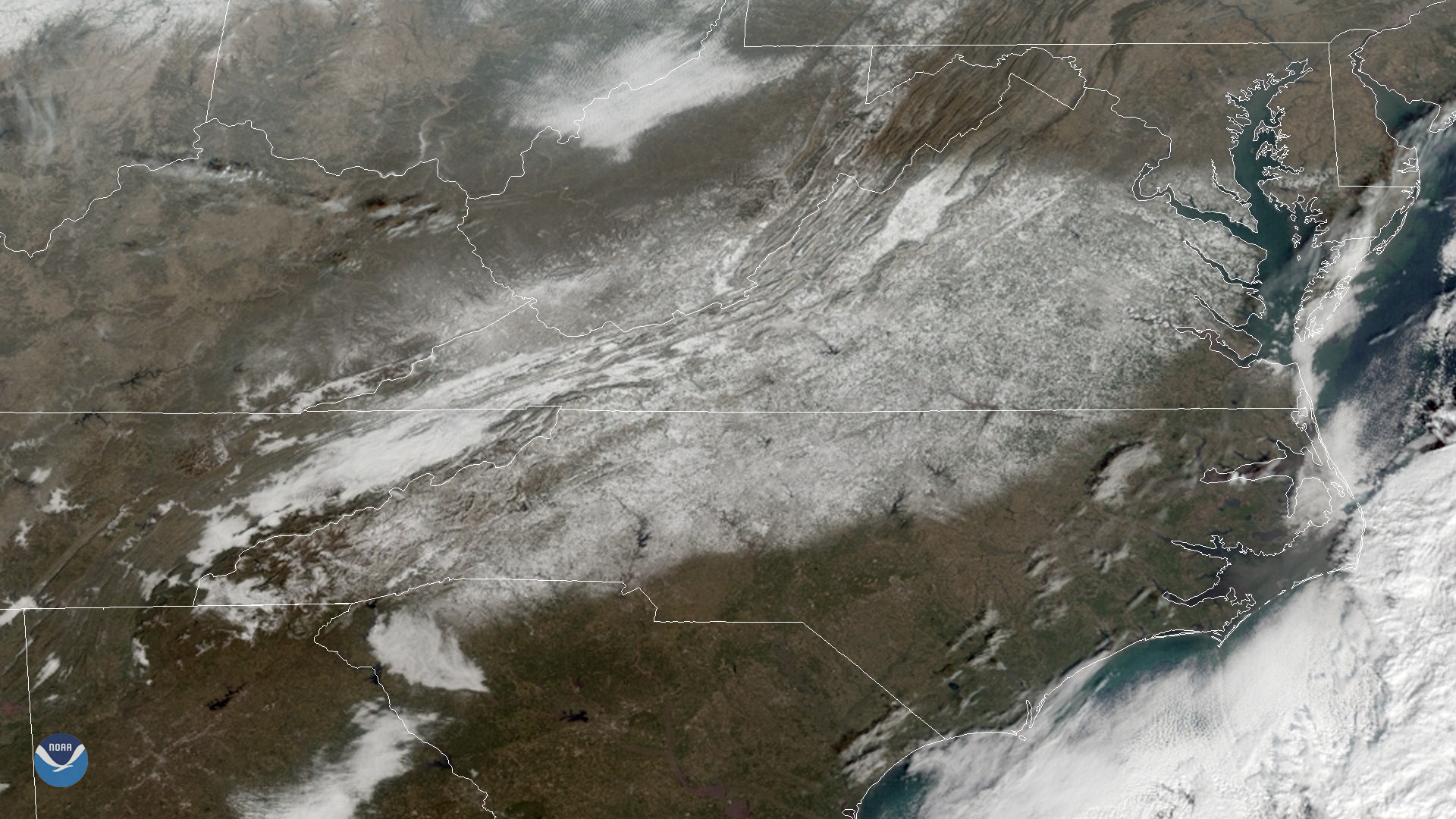
GOES East captured heavy snow cover over the Mid-Atlantic region on Dec. 11, 2018.
Feature Story

The GOES-17 Advanced Baseline Imager (ABI) has sent its first images from the satellite's new vantage point over the Pacific Ocean.
Satellite Snapshots

This GOES East image shows a sprawling storm system across large portions of the Midwest, South, and Eastern U.S.
Feature Story
NASA and NOAA have appointed a board to investigate an instrument anomaly aboard the GOES-17 satellite.
Satellite Snapshots
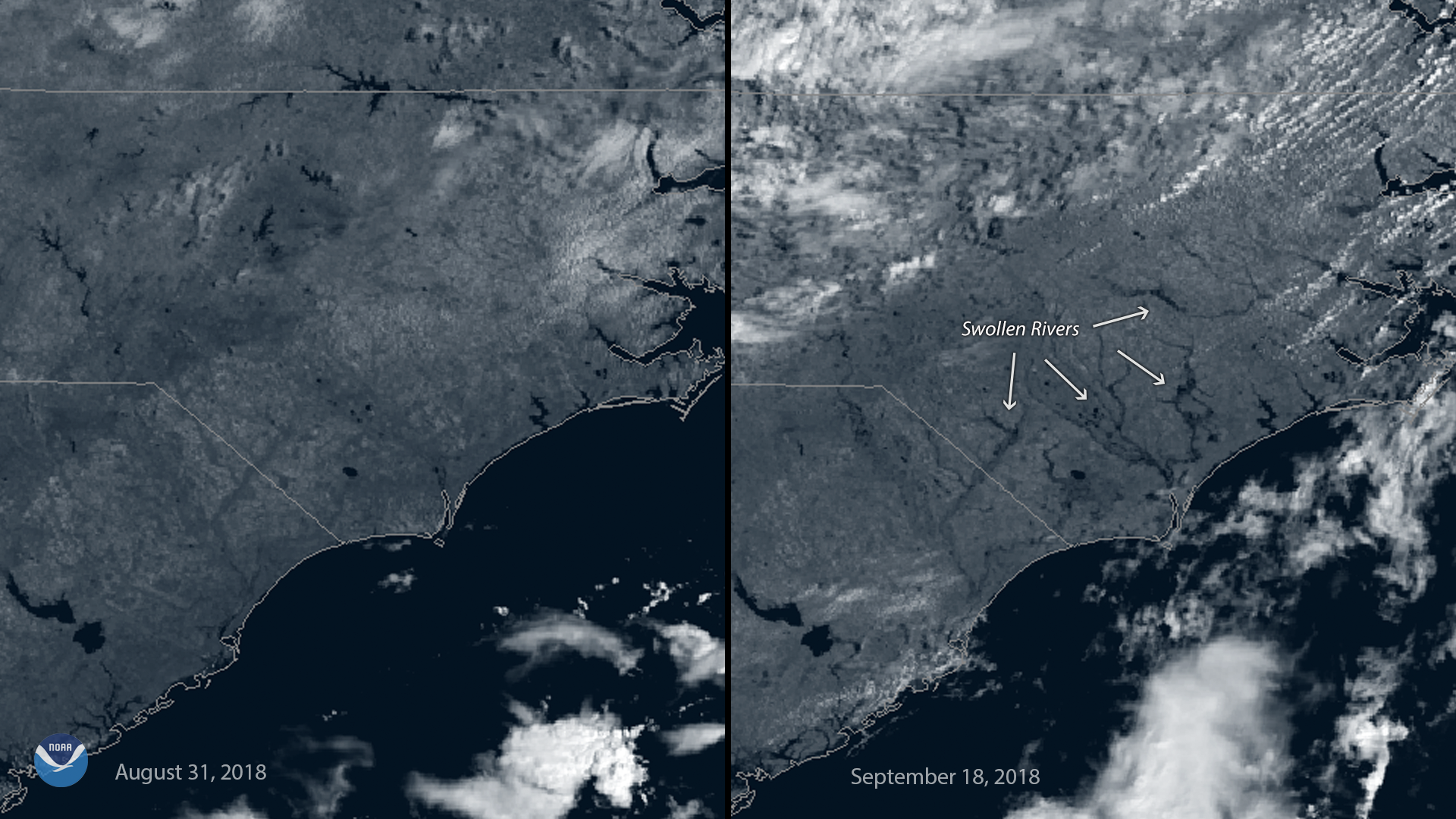
This before-and-after imagery from GOES East shows a changed landscape and flooding after Hurricane Florence affected southeastern North Carolina.