
Earth from Orbit

Fire weather is heating up across the western United States, exacerbated by an intense heatwave and ongoing severe drought.
Satellite Snapshots
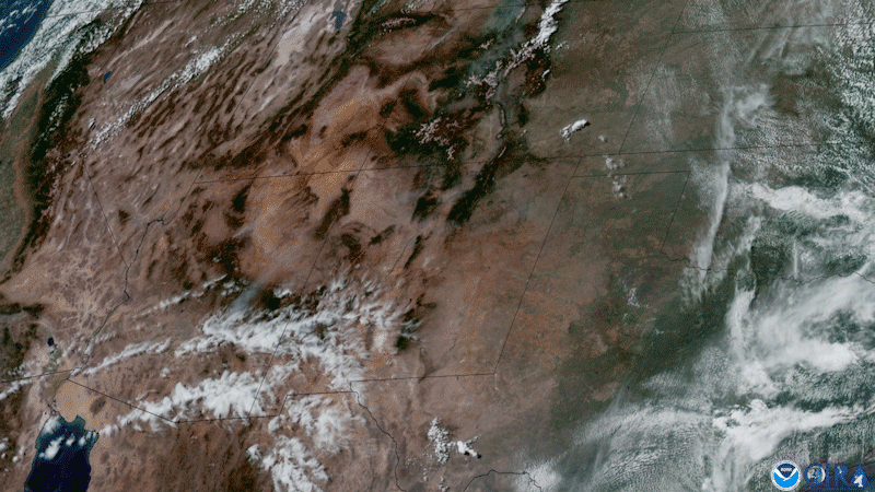
GOES West captured this GeoColor imagery of brownish-gray smoke plumes rising from the Telegraph and Mescal fires in southeastern Arizona.
Satellite Snapshots
Wildfire season is cranking up, and smoke was filling the western skies of the United States this week.
Satellite Snapshots
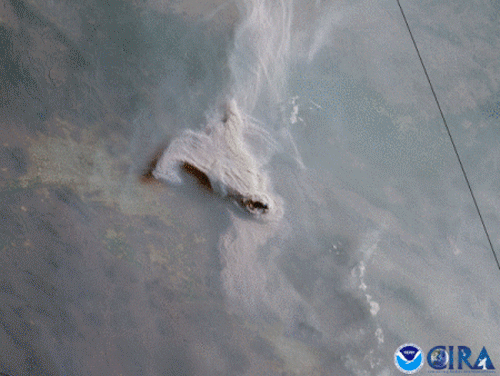
GOES West satellite captured GeoColor imagery of a large, dark plume of smoke emanating from a 6-alarm fire that consumed a recycling yard.
Satellite Snapshots
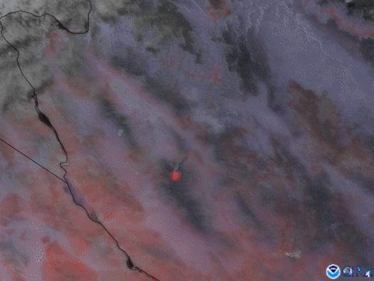
The GOES West satellite focused in on the Flag Fire in western Arizona using a combination of visible imagery and Fire Temperature RGB.
Satellite Snapshots
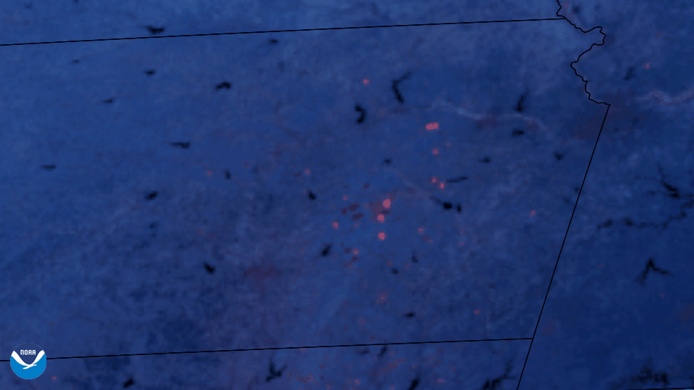
NOAA’s GOES East satellite detected the heat from prescribed burns across Kansas and Oklahoma in this Fire…
Earth from Orbit

NOAA satellites monitored numerous fires over the Southern Plains, the majority of which were likely prescribed burns.
Satellite Snapshots
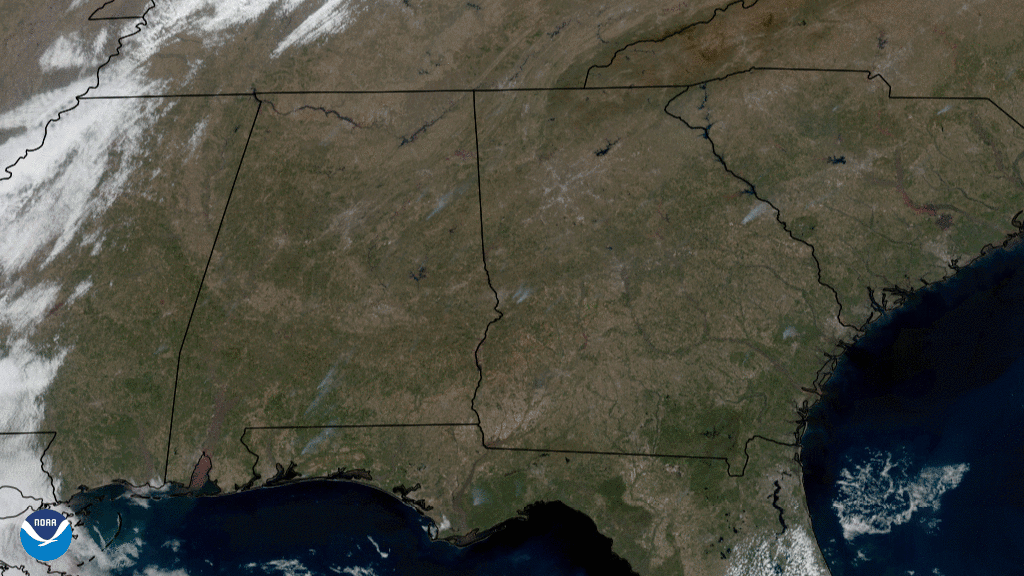
On Feb. 24, 2021, the GOES East satellite captured GeoColor imagery of grayish smoke plumes rising into the atmosphere across the southeastern U.S.