
Satellite Snapshots

GOES East captured amazing visible imagery of large thunderstorms as they erupted over Texas. The Geostationary Lightning Mapper tracked lightning
Satellite Snapshots

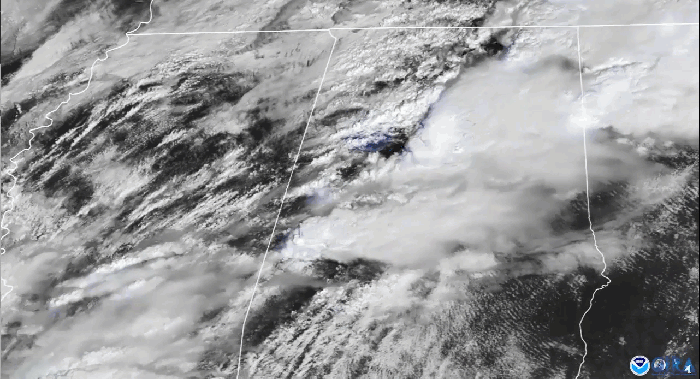
The GOES East satellite watched a massive supercell push across south-central Texas. The storm produced damaging winds and very large hail.
Feature Story
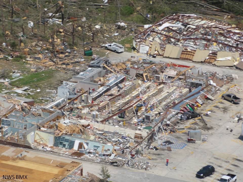
This week marks the tenth anniversary of one of the largest, deadliest, and most destructive tornado outbreaks in United States.
Satellite Snapshots
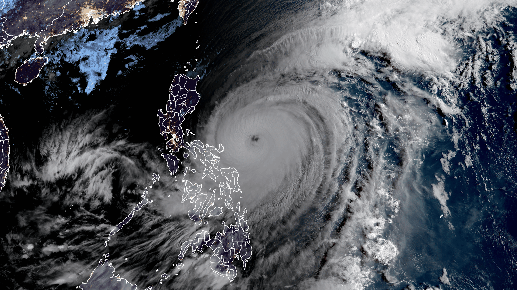
April 19, 2021 The Himawari-8 satellite, operated by our partners at the Japan Meteorological Agency, is closely monitoring Typhoon Surigae, known in…
Satellite Snapshots
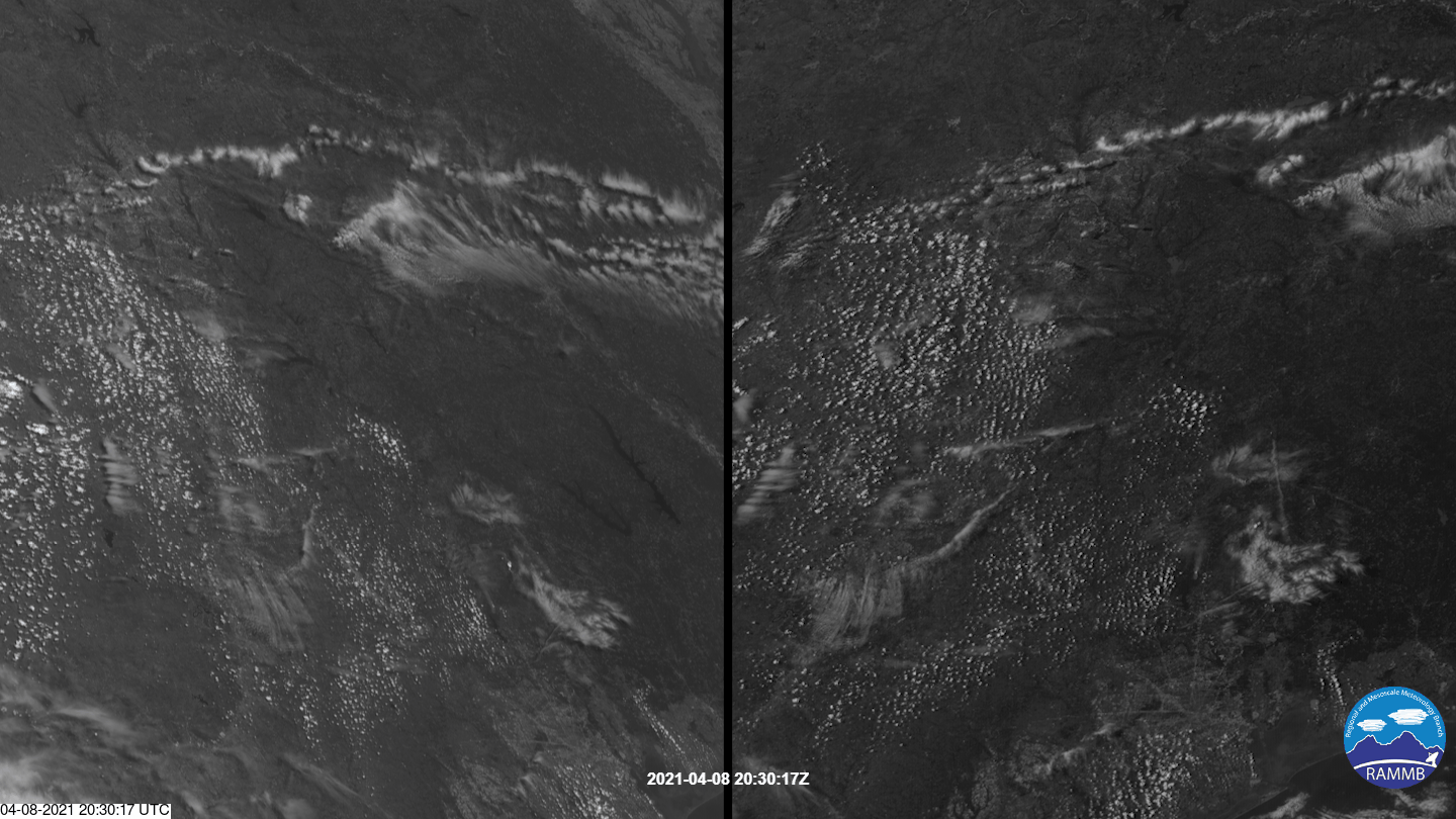
Both GOES West and GOES East saw an isolated, or discrete, supercell storm burst over East Texas.
Satellite Snapshots
The timelapse seen above in our Image of the Day captures the supercell thunderstorms that swept over parts of the landscape of the…
Earth from Orbit
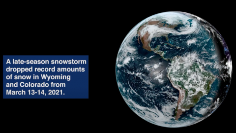
Satellite imagery shows a late-season snowstorm that dropped record-breaking amounts of snowfall in Cheyenne, Wyoming and Denver, Colorado.
Satellite Snapshots
Ten years ago today, a 9.1 magnitude earthquake struck off the northeastern coast of Honshu on the Japan Trench, a…