
Satellite Snapshots

Clear skies over Australia on July 16, 2019, gave the NOAA-20 polar-orbiting satellite an unobstructed view of smoke plumes from…
Satellite Snapshots
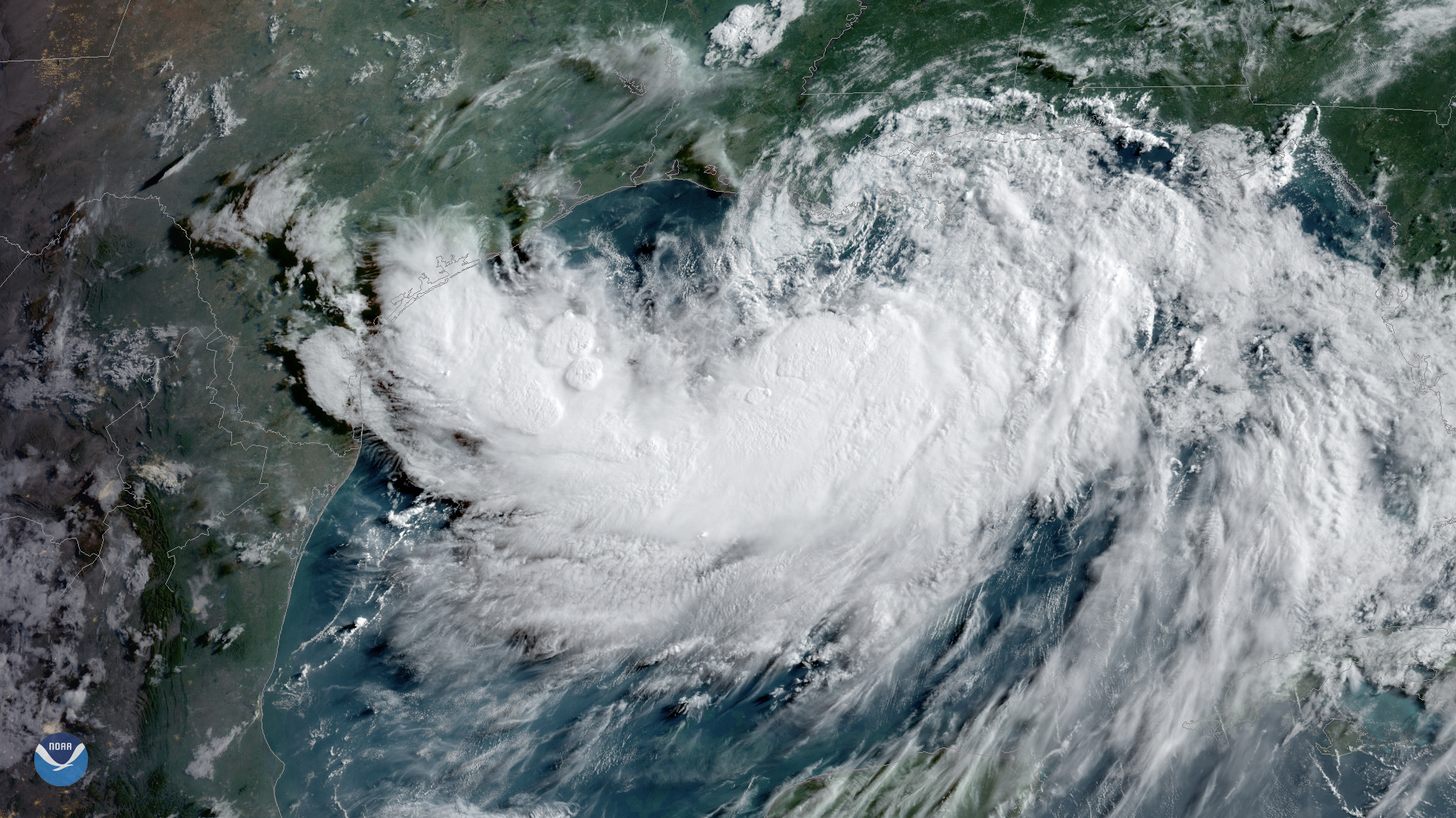
Tropical Storm Barry, seen here by GOES East on July 12, 2019, at 9 a.m. ET is strengthening over the warm waters of the northern Gulf…
Satellite Snapshots
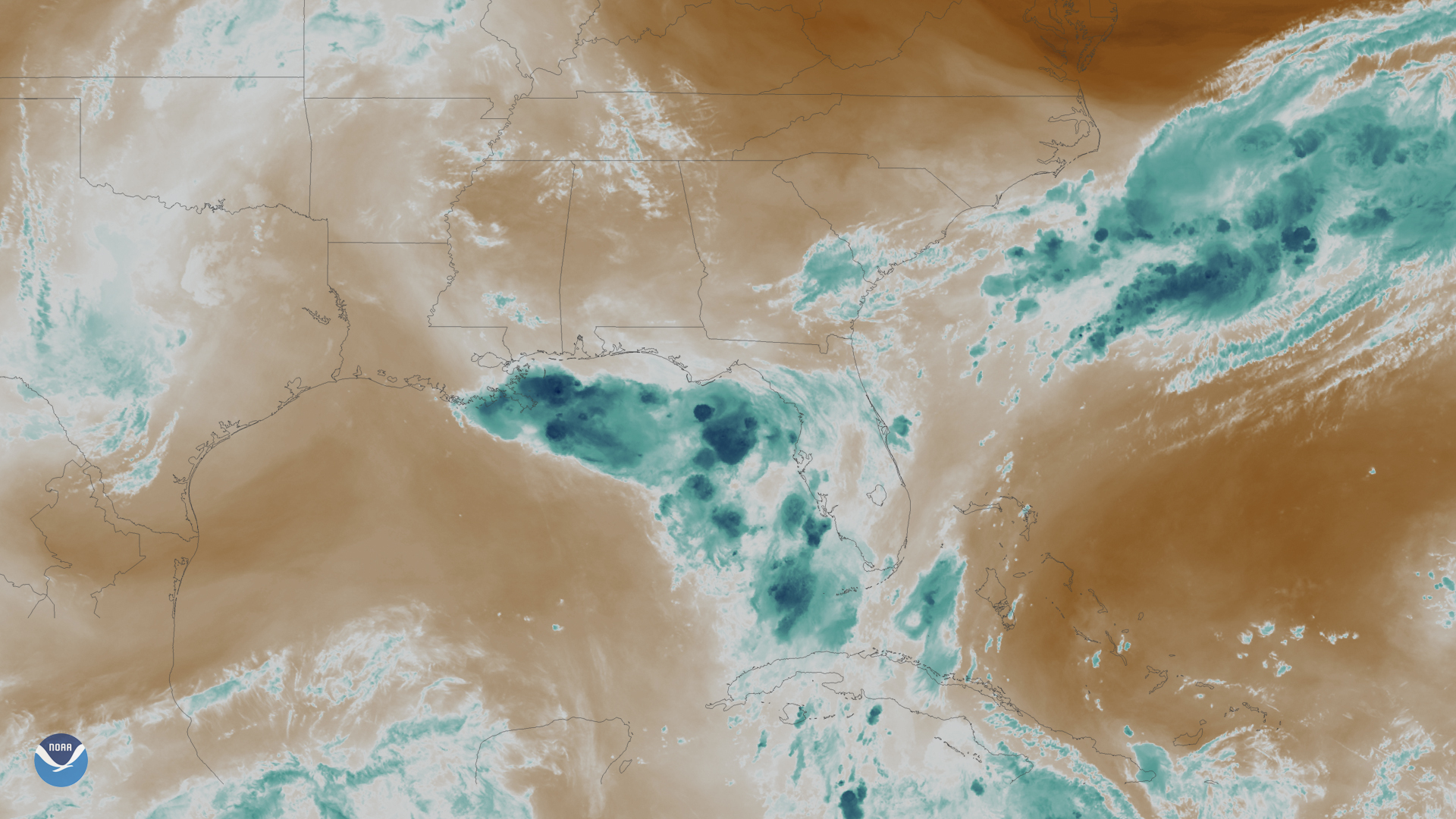
A storm is brewing in the northern Gulf of Mexico. A broad area of low pressure, located just south of the eastern Florida Panhandle,…
Satellite Snapshots
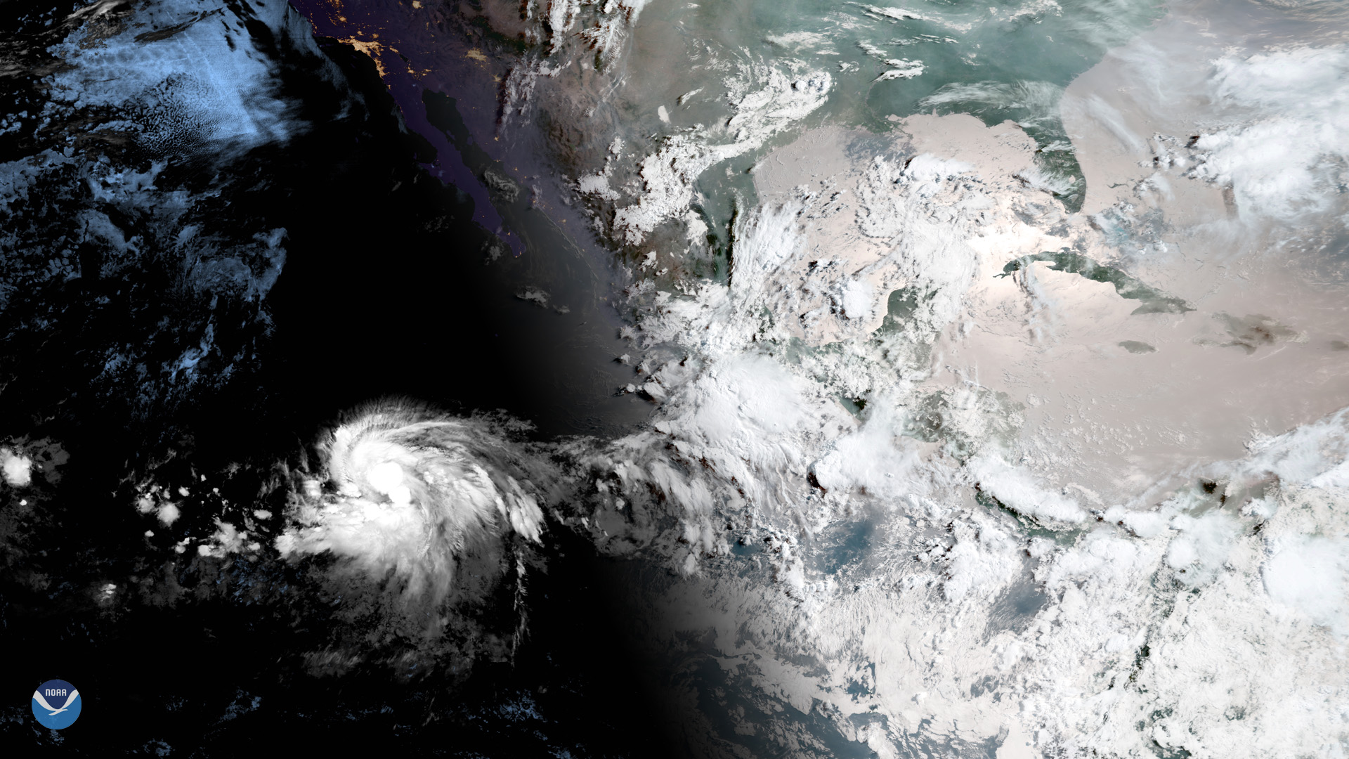
Tropical Storm Barbara, seen on July 1,2019, at 9:20 a.m. ETin this sunrise view from GOES West, is steadily strengthening in the…
Satellite Snapshots

About 5,000 people were forced to flee their homes Wednesday, June 26, 2019, when Mount Ulawun on the island of New Britain in Papua…
Satellite Snapshots
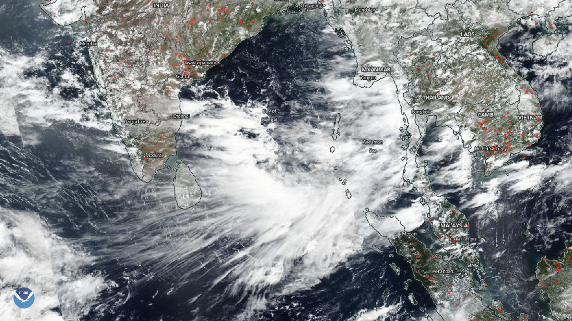
Upper level winds from thunderstorms over the Bay of Bengal blew anvil clouds to the southwest, forming an eye-catching cirrus cloud…
Satellite Snapshots
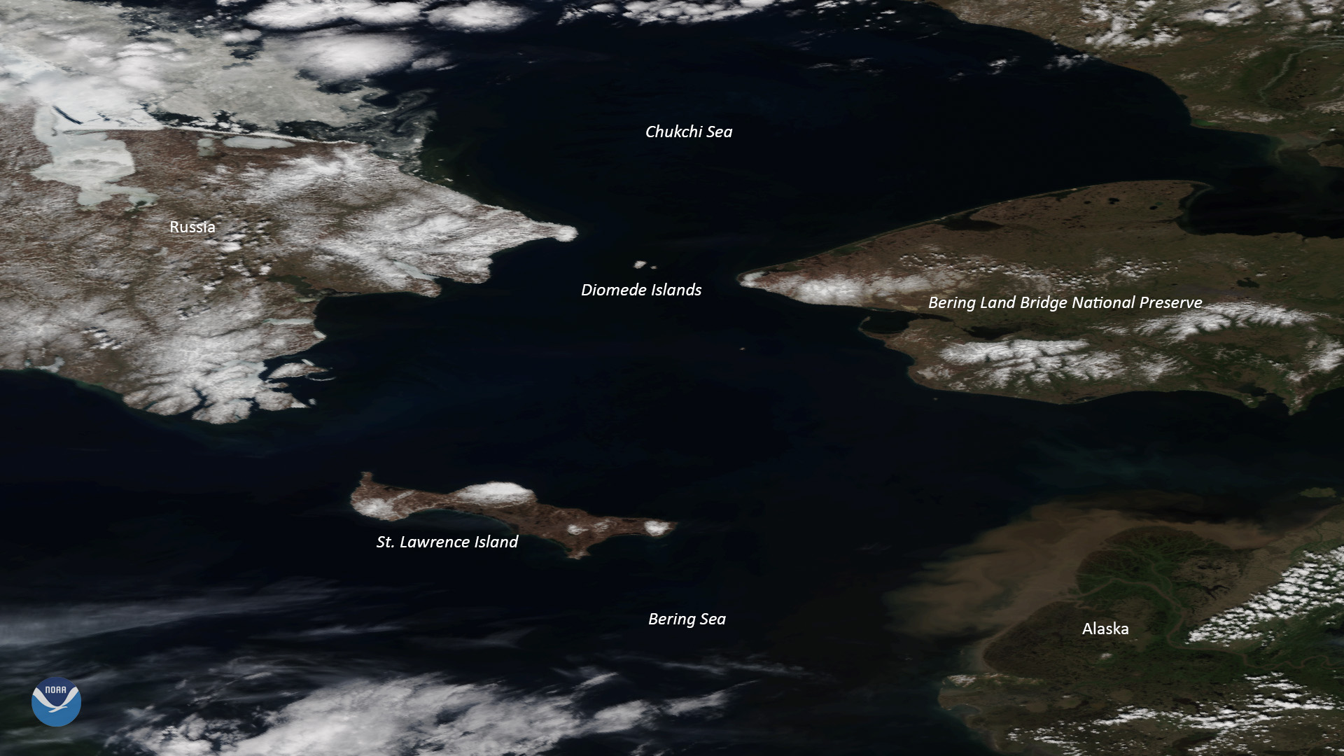
Clear skies over Alaska allowed NOAA-20 to capture this stunning view of the Bering Land Bridge National Preserve on June 13, 2019.
Satellite Snapshots
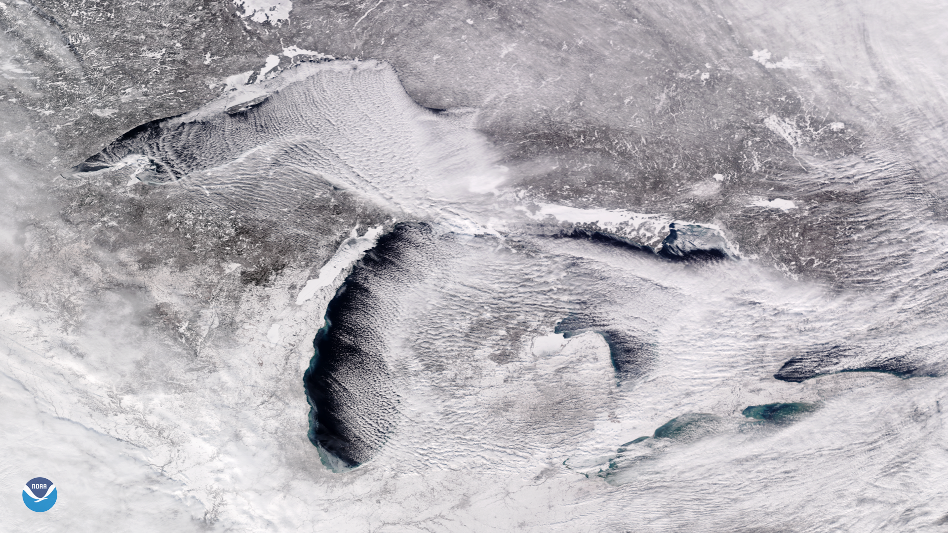
Bitter cold, arctic air is pouring into the Midwest and Great Lakes this week, and is expected to bring a prolonged period of…