
Satellite Snapshots
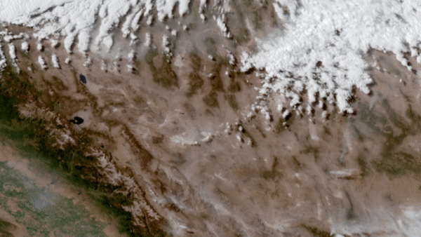
On June 28–29, 2020, NOAA’s GOES-West satellite watched a particularly intense dust cloud race across Nevada’s Mojave desert.
Satellite Snapshots
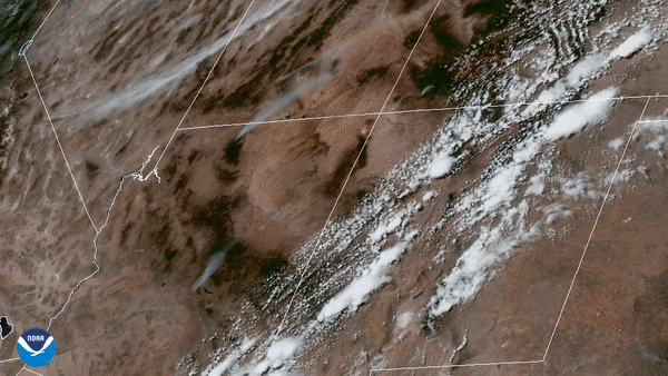
GOES-East satellite focused its Advanced Baseline Imager on wildfires in the four corners region of the western United States.
Satellite Snapshots
Two years ago today, NOAA announced that its JPSS satellite, NOAA-20, was fully operational.
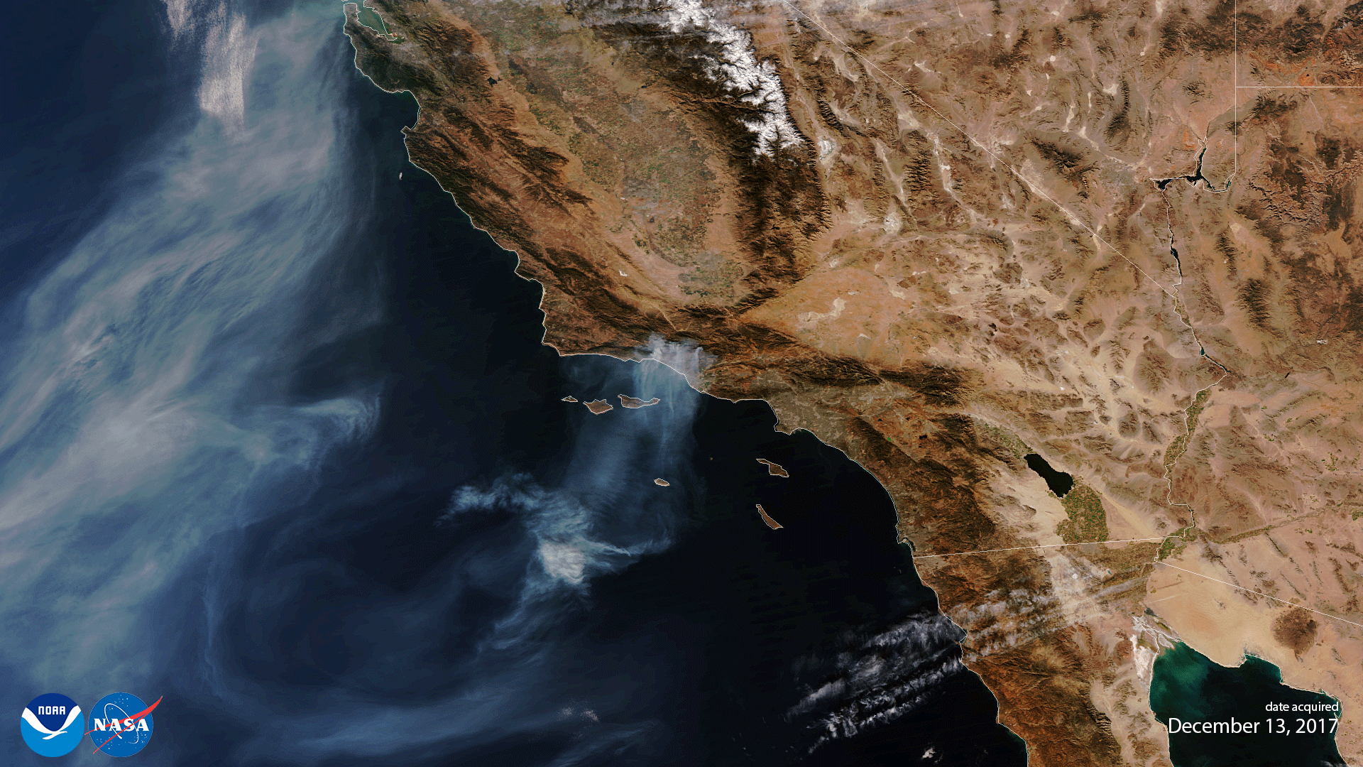
Satellite Snapshots
On the morning of Saturday, April 25, 2020, the GOES-East satellite spied dark, dense smoke billowing from the city of Bachaquero,…
Satellite Snapshots
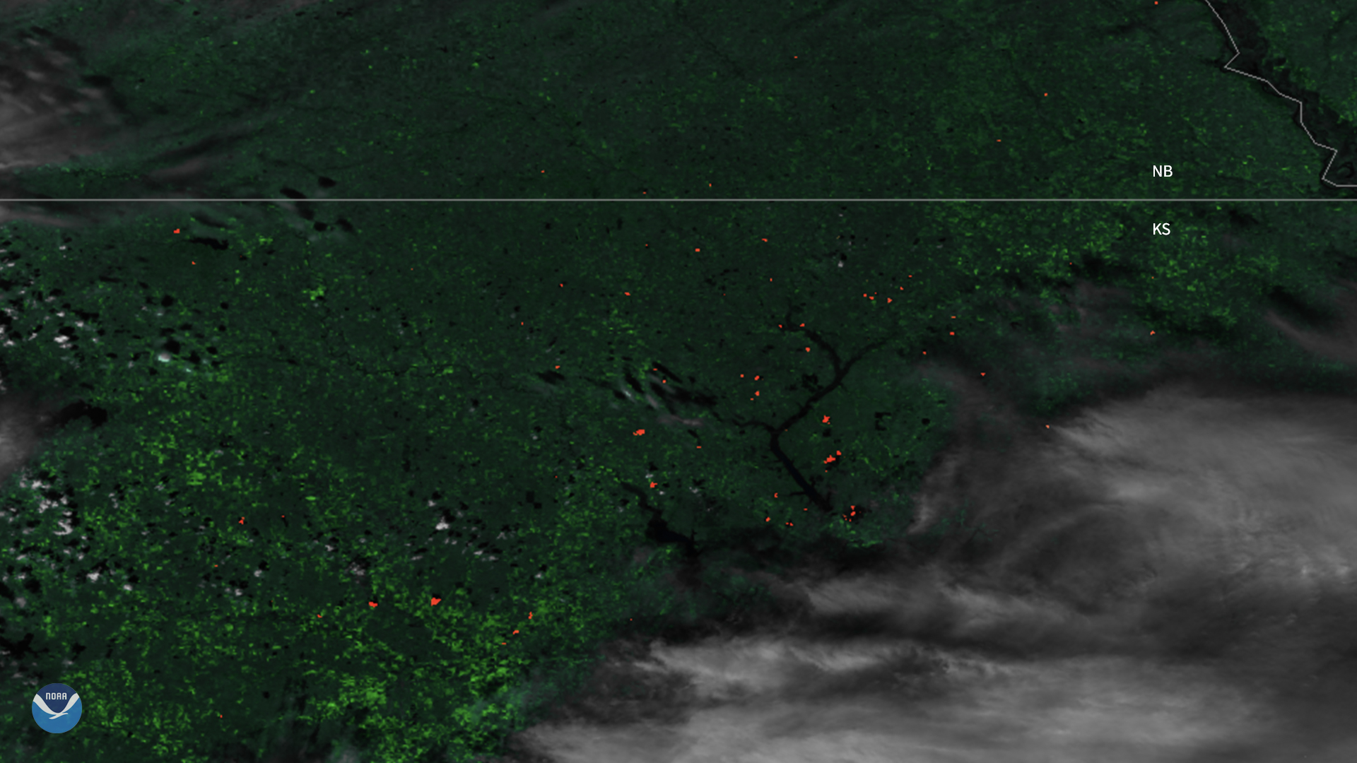
The Suomi-NPP satellite captured imagery of fires dotting Kansas as it passed overhead.
Satellite Snapshots
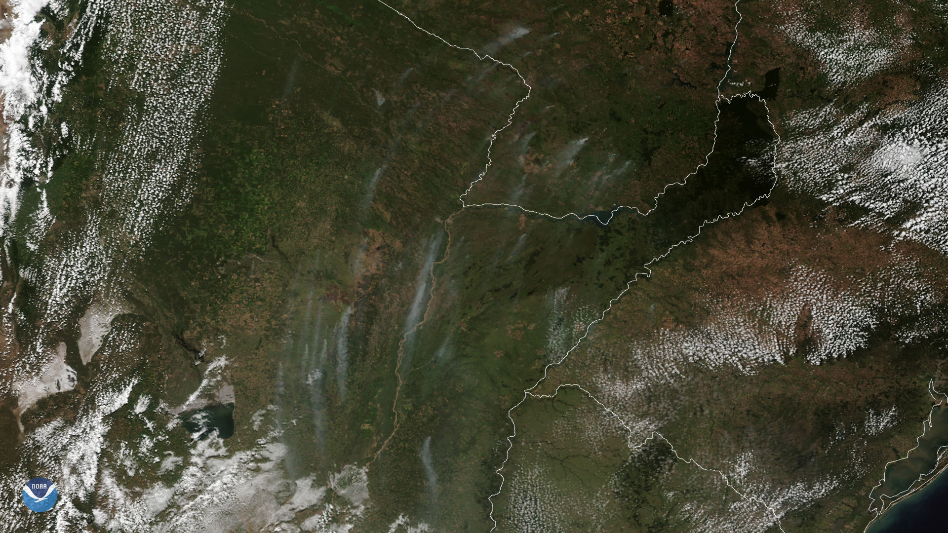
On March 24, 2020, NOAA’s GOES-East satellite zoomed in on wispy smoke plumes from fires burning in Argentina and Paraguay. These vast…
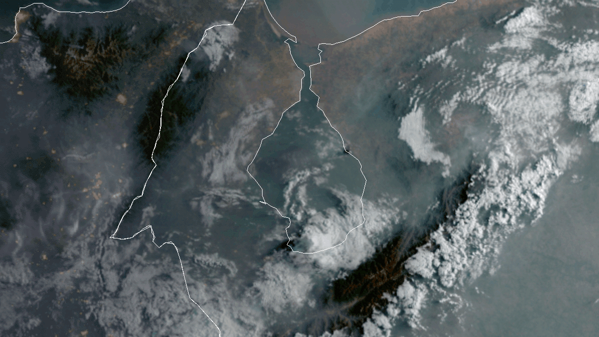
Satellite Snapshots
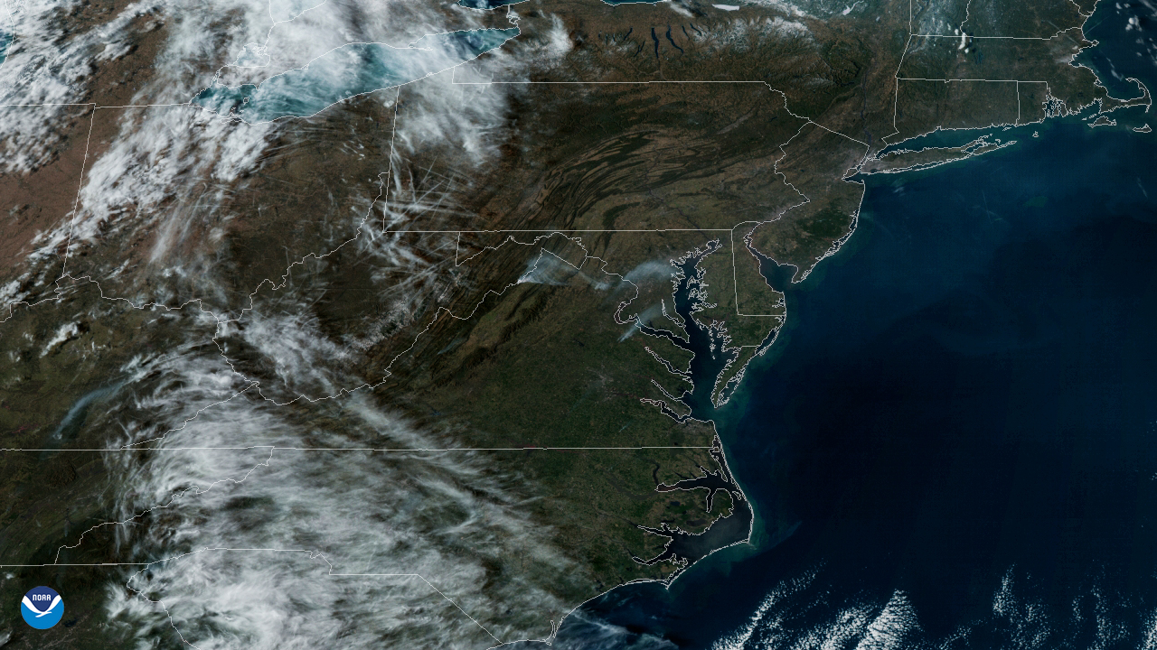
On March 8, 2020, the GOES-East satellite viewed the Washington, D.C. metro area as haziness covered the region from a prescribed burn…
Satellite Snapshots
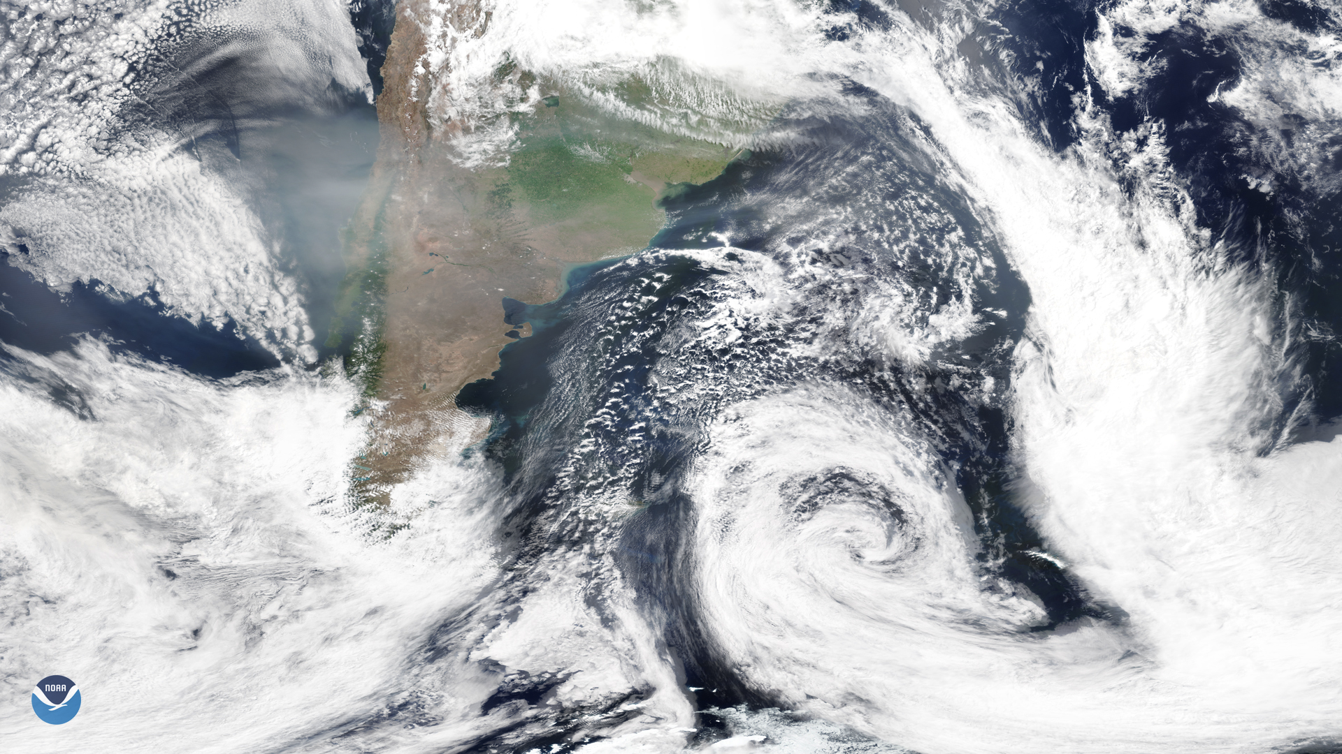
On Jan. 16, 2020, the NOAA-20 satellite snapped this image of the southern tip of South America, where smoke from the Australian…