
Satellite Snapshots
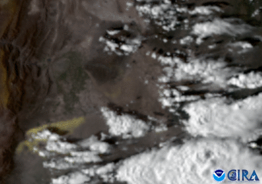
GOES East caught a haboob, or sandstorm, as it swept through the dry Argentine plains..
Satellite Snapshots
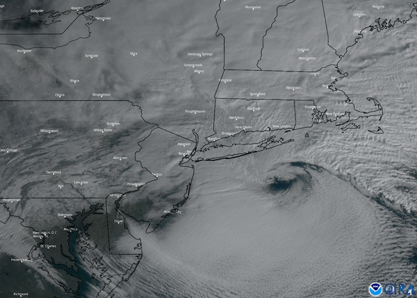
This nor-easter started to develop Wednesday morning, Dec. 16, where snow, ice, and rain stretched from the Southeast up into the Mid-Atlantic
Satellite Snapshots

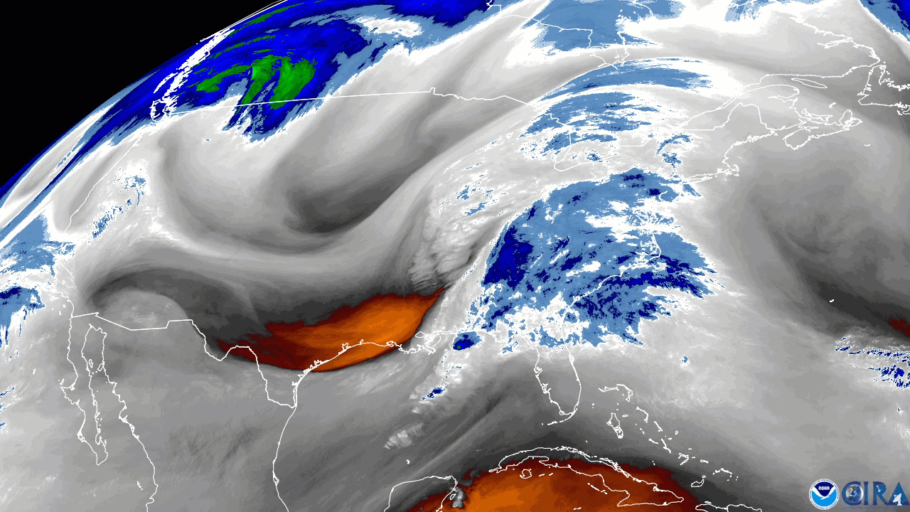
Geostationary Lightning Mapper (GLM) onboard the GOES East satellite detects atmospheric anomaly over upstate New York
Satellite Snapshots
NOAA’s GOES East satellite captured a strong storm system that pushed through along the eastern United States, using the satellite…
Satellite Snapshots
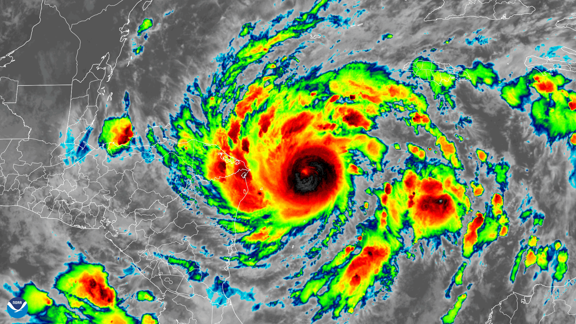
Early on November 2, 2020, the GOES-East satellite watched Tropical Storm Eta strengthen into a hurricane over the Caribbean Sea…
Satellite Snapshots
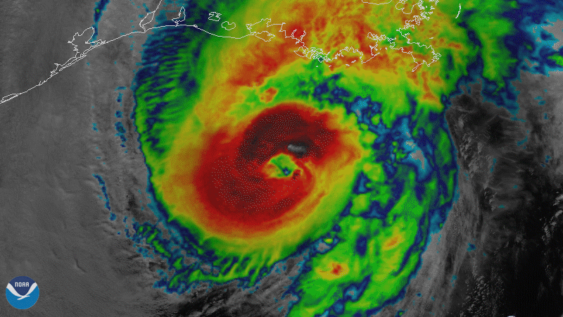
On October 28, 2020, NOAA’s GOES-East satellite viewed Hurricane Zeta make landfall at Cocodrie, Louisiana as a strong Category-2…
Satellite Snapshots
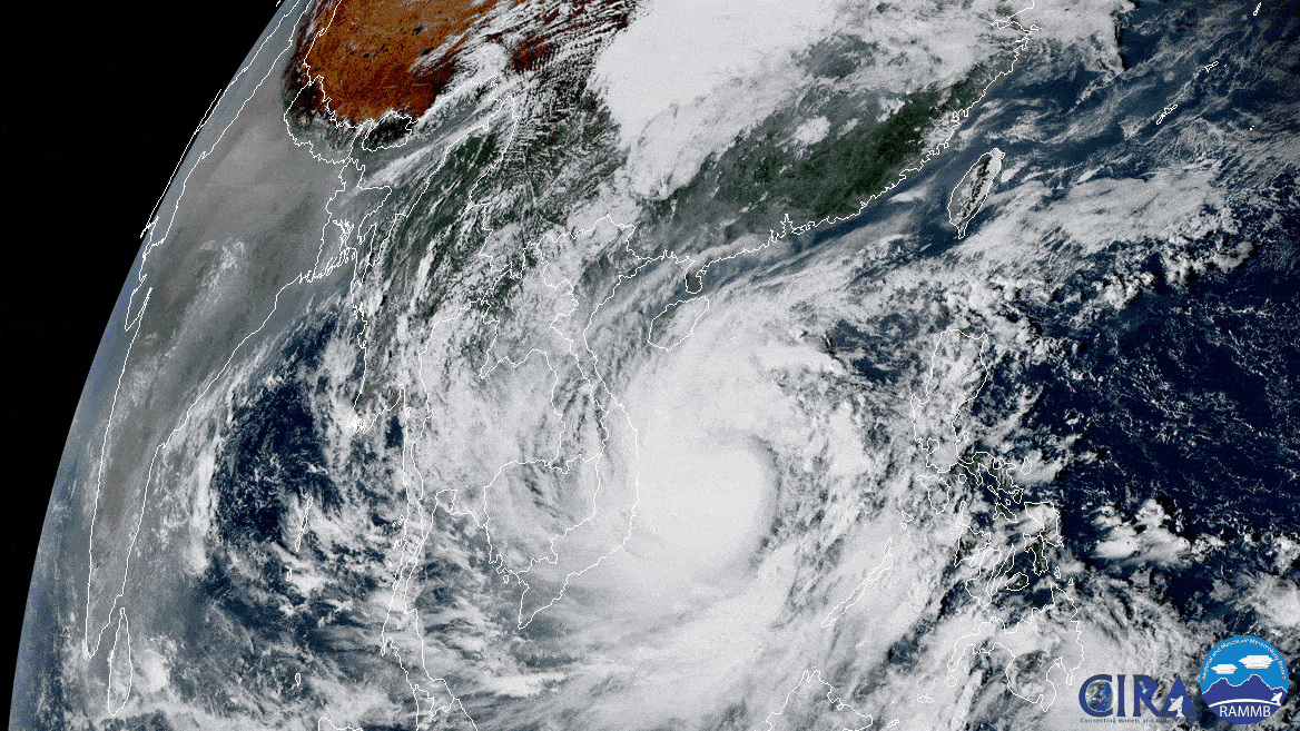
On Oct. 27, 2020, the Himawari-8 satellite, operated by our partners at the Japan Meteorological Agency , looked down from its…
Satellite Snapshots
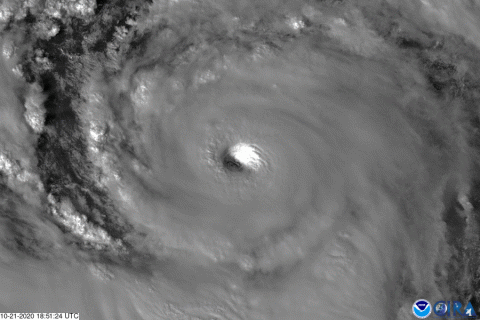
On Wednesday, Oct 21, 2020, The GOES-East satellite watched Hurricane Epsilon quickly intensify from a Category-1 storm to a major…