
Satellite Snapshots
Click here to download these fun Halloween pumpkin carving templates!
Satellite Snapshots
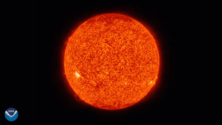
Solar Ultraviolet Imager (SUVI) instrument onboard GOES-East observed two solar flares and several eruptions from the surface
Satellite Snapshots
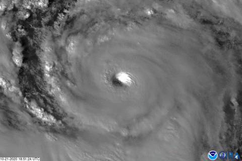
On Wednesday, Oct 21, 2020, The GOES-East satellite watched Hurricane Epsilon quickly intensify from a Category-1 storm to a major…
Satellite Snapshots
On Oct. 20, 2020, NOAA’s GOES-East satellite captured this four-hour GeoColor loop of Tropical Storm Epsilon, which strengthened…
Satellite Snapshots
On October 14, 2020, the GOES-East satellite viewed the Cameron Peak Fire near Ft. Collins, CO, which has been burning for two…
Satellite Snapshots
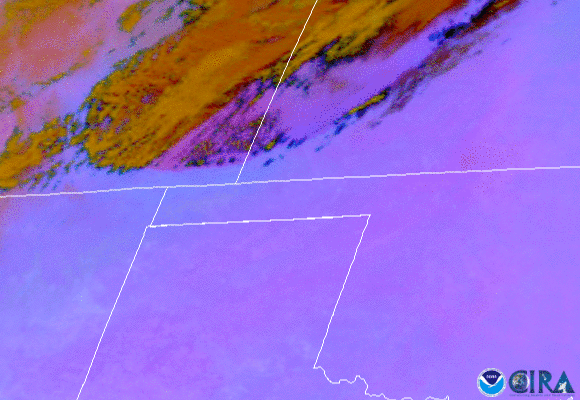
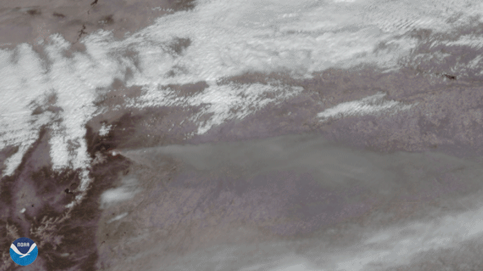
On Oct. 11, 2020, NOAA’s GOES-East satellite watched a huge wall of dust blow more than 300 miles from eastern Colorado to Nebraska,…
Satellite Snapshots
October 08, 2020 Between October 1 and October 3, 2020, Hurricane Marie was tracked by Canada’s RADARSAT-2 satellite in the Pacific Ocean. Wind…
Feature Story
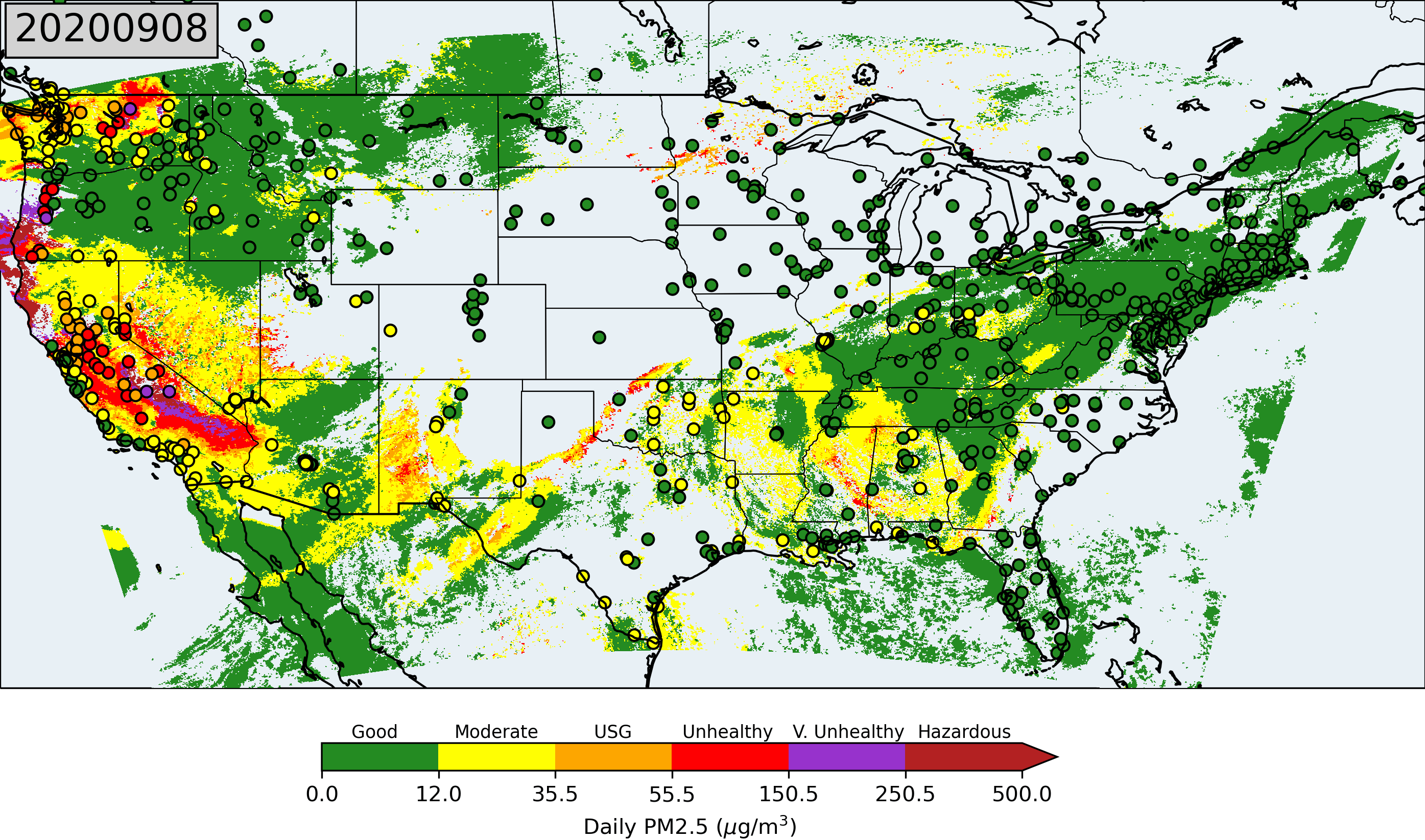
NOAA's polar-orbiting and geostationary satellites continuously monitor the Earth's environment acquiring records of environmental hazards including f