
Satellite Snapshots
On Oct. 20, 2020, NOAA’s GOES-East satellite captured this four-hour GeoColor loop of Tropical Storm Epsilon, which strengthened…
Satellite Snapshots
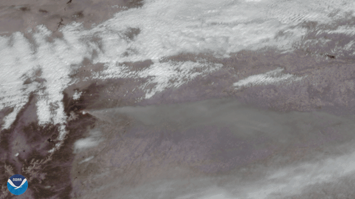
On October 14, 2020, the GOES-East satellite viewed the Cameron Peak Fire near Ft. Collins, CO, which has been burning for two…
Satellite Snapshots
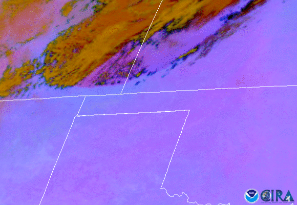
On Oct. 11, 2020, NOAA’s GOES-East satellite watched a huge wall of dust blow more than 300 miles from eastern Colorado to Nebraska,…
Satellite Snapshots
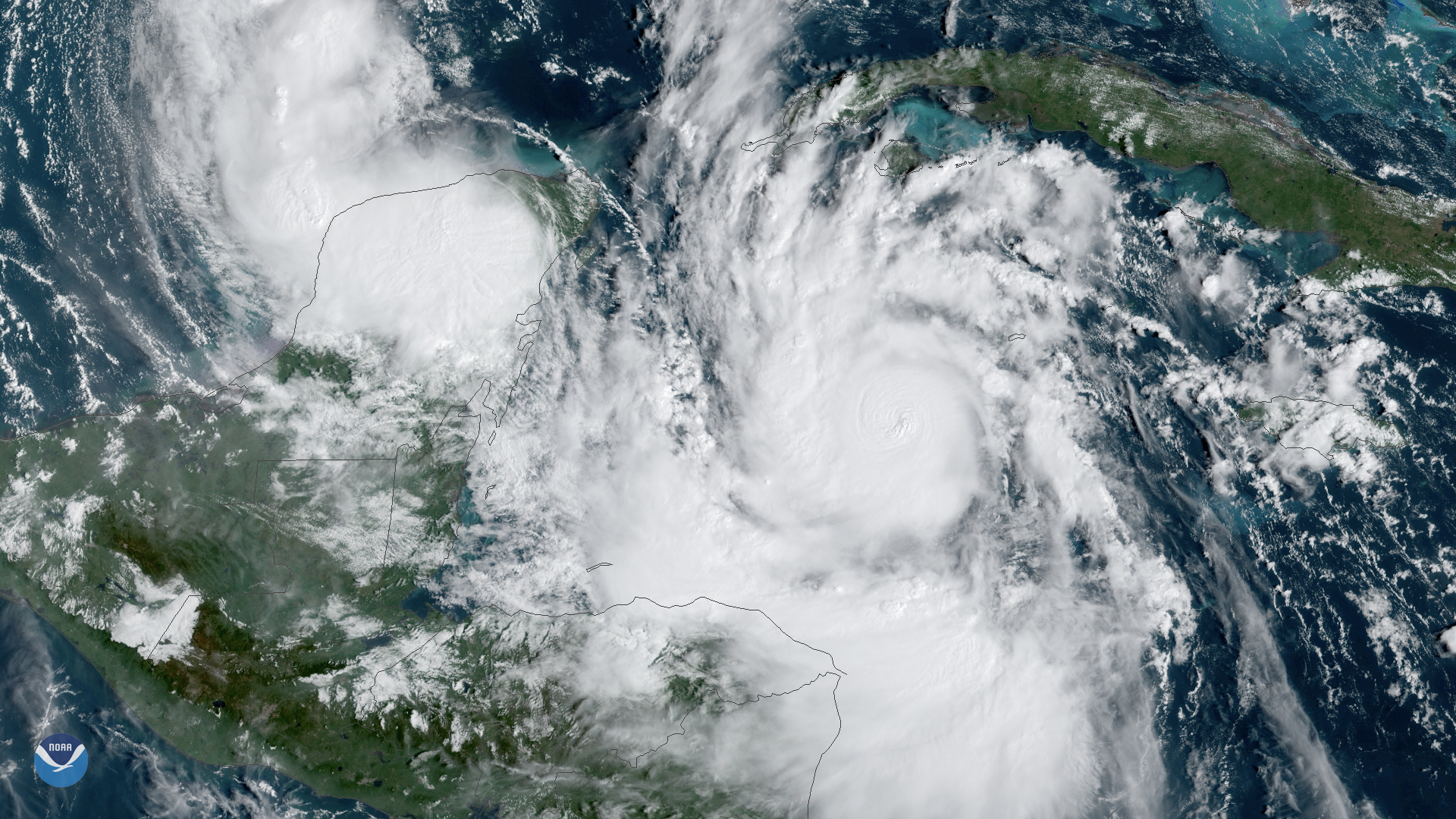
Hurricane Delta is expected to swing up over the warm waters of the Gulf of Mexico and make landfall along the northern Gulf Coast
Satellite Snapshots

CMORPH (NOAA Climate Prediction Center MORPHing technique) showed total rainfall produced by Hurricane Sally over several days.
Satellite Snapshots
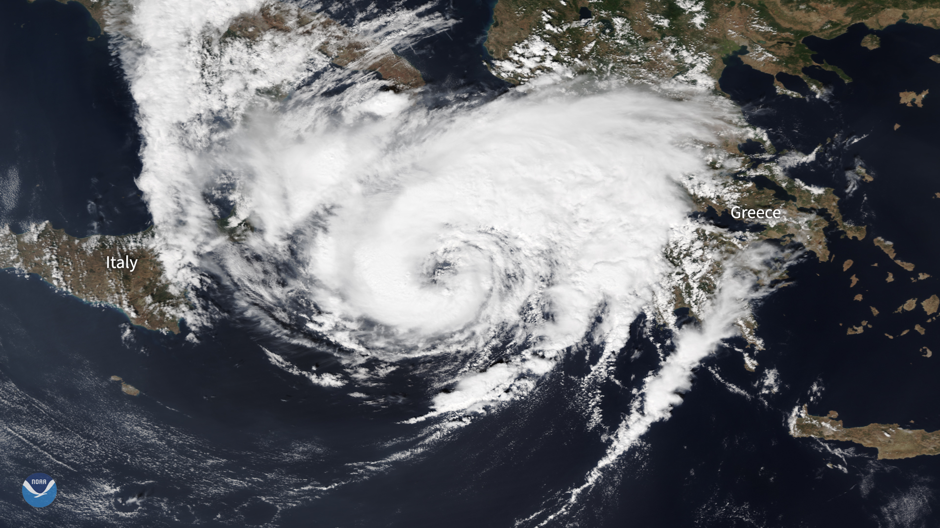
The NOAA-20 satellite zoomed in on a hurricane-like storm over the Mediterranean, known as a "medicane," as it approached western Greece.
Feature Story
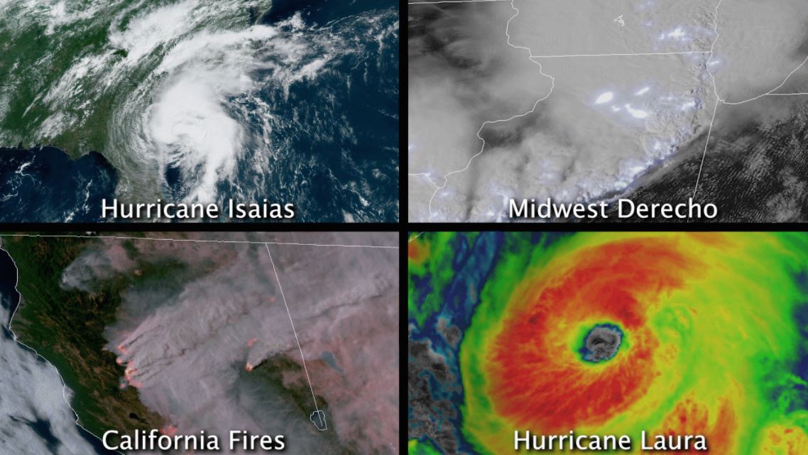
In August 2020, the contiguous U.S. saw at least four different billion-dollar disasters.
Feature Story

The Sun is Earth’s nearest star—a giant orb of hydrogen and helium about 93 million miles away. To many people, it looks…