
Feature Story
NOAA satellites aided with forecasting and response when the remnants of Typhoon Halong hit southwestern Alaska on October 12, 2025, bringing destructive winds and flooding.
Feature Story
NOAA satellites help predict and detect early threats, track weather events as they happen, and map the aftermath, arming emergency managers and first responders with game-changing intel.
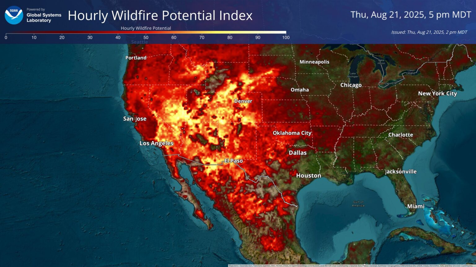
Feature Story
NOAA satellites help predict and detect early threats, track weather events as they happen, and map the aftermath, arming emergency managers and first responders with game-changing intel.
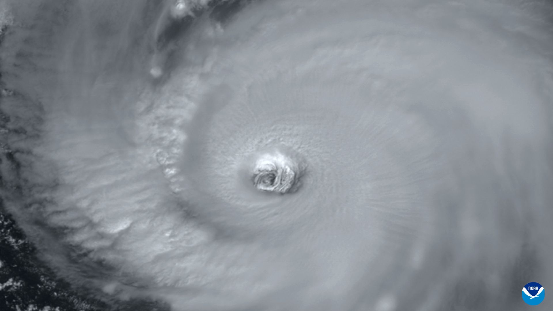
Feature Story
NOAA satellites help predict and detect early threats, track weather events as they happen, and map the aftermath, arming emergency managers and first responders with game-changing intel.
Feature Story
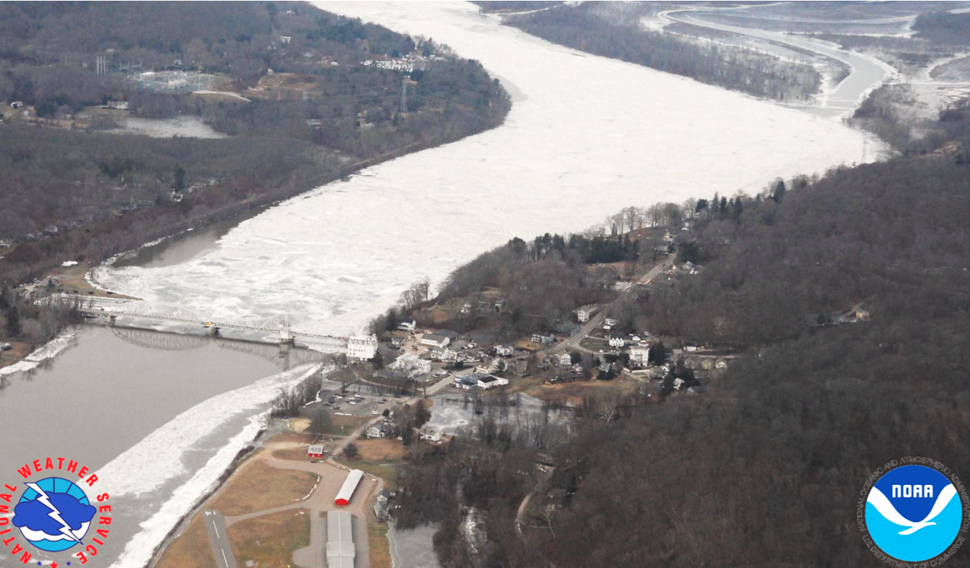
JPSS satellites track river ice jams and snowmelt, helping forecasters spot flood risks early and issue timely warnings to protect communities.
Feature Story

NOAA’s three operational Joint Polar Satellite System (JPSS) satellites collectively pass over Northern Alaska up to 27 times a day and Southern Alaska up to 12 times, providing frequent, reliable and wide-ranging coverage.
Feature Story
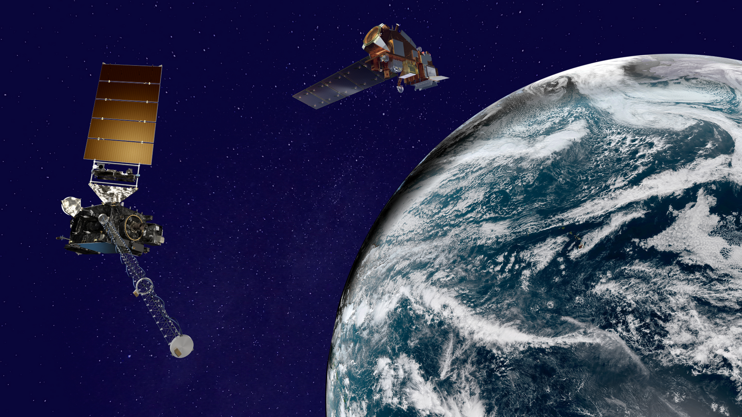
It was a busy – and successful – year for NOAA’s Satellite and Information Service. We celebrated 50 years of NOAA’s GOES satellites in 2025.
Satellite Snapshots
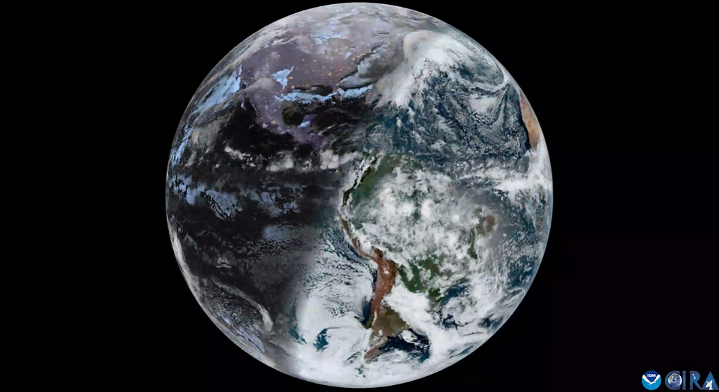
NOAA’s satellites allow us to see how Earth’s tilt drives changes in sunlight and seasons.