
Feature Story
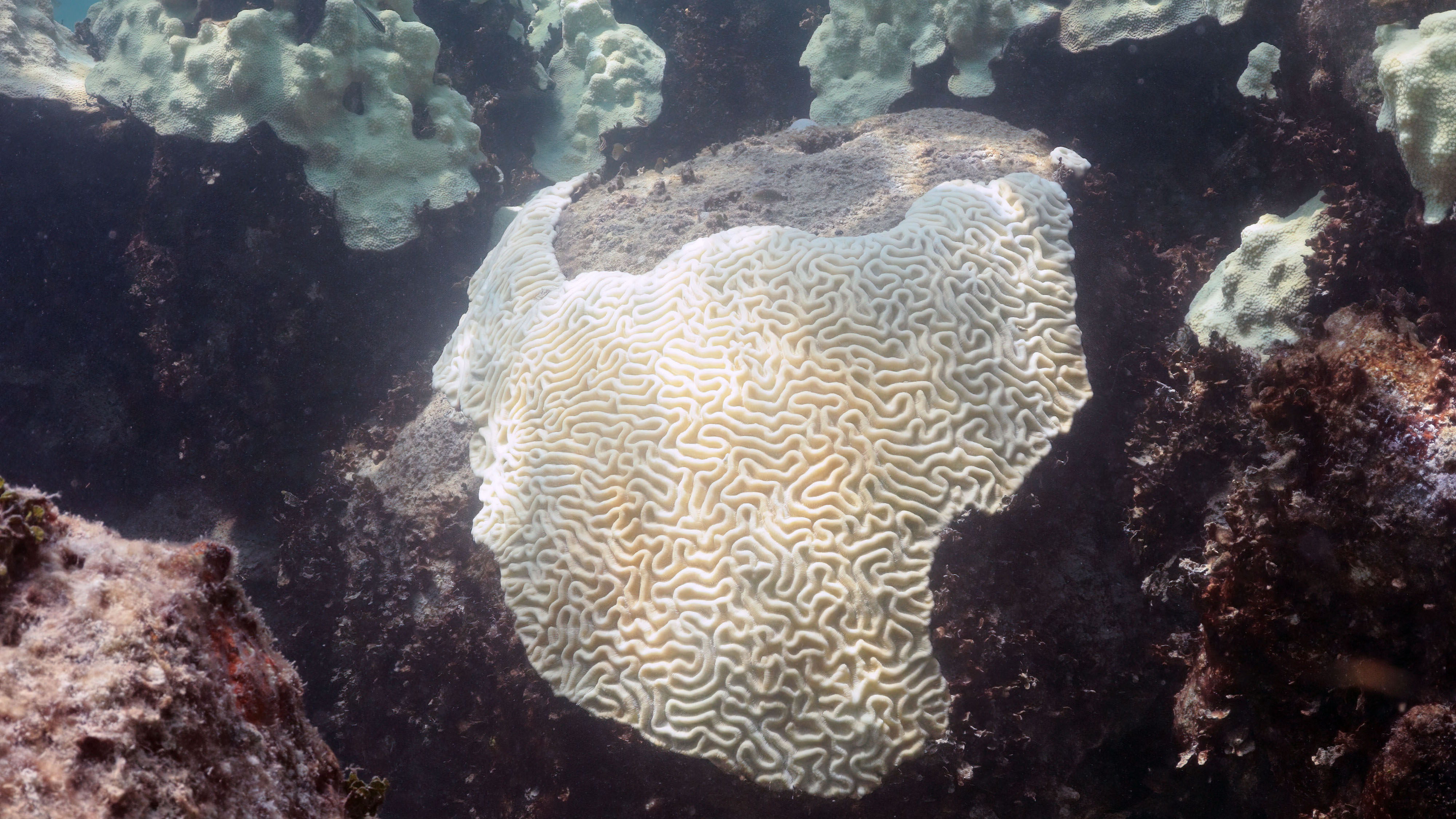
NOAA experts have determined that the fourth global coral bleaching event likely concluded in mid-2025 following unprecedented heat stress across the world’s coral reefs.
Feature Story

NOAA’s three operational Joint Polar Satellite System (JPSS) satellites collectively pass over Northern Alaska up to 27 times a day and Southern Alaska up to 12 times, providing frequent, reliable and wide-ranging coverage.
Feature Story

A NOAA-led study recently published in Science confirmed that a record marine heatwave in 2023 triggered the functional extinction of two coral species in Florida waters.
Feature Story

LEO satellites provide essential ocean color data that supports sustainable fisheries and protects Alaska’s seafood economy.
Feature Story
The job of forecasting is with NOAA’s National Weather Service (NWS), but the Center for Satellite Applications and Research (STAR), a program office within the National Satellite and Information Service (NESDIS)
Feature Story

NOAA contributes 90% of the weather information used by the defense and intelligence communities. Satellites offer a view unrivaled by terrestrial technology.
Satellite Snapshots

NOAA’s Joint Polar Satellite System (JPSS) satellites captured striking imagery of sediment runoff due to flooding in the Mississippi River delta from April 8–13, 2025.
Feature Story

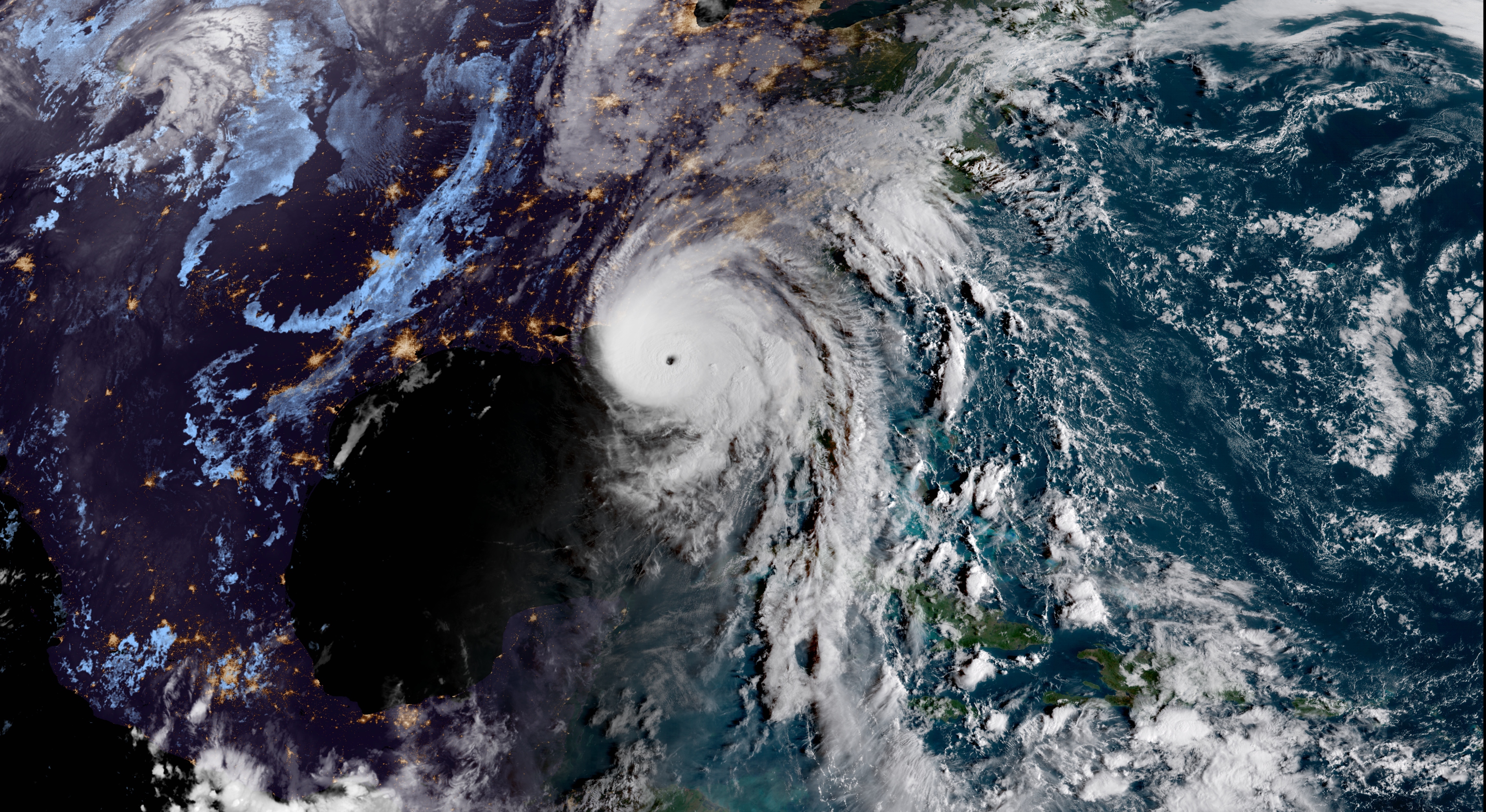
LEO satellites track storms, winds, and sea ice, helping the National Weather Service Ocean Prediction Center issue warnings that protect vessels, cargo, and lives.