
Satellite Snapshots
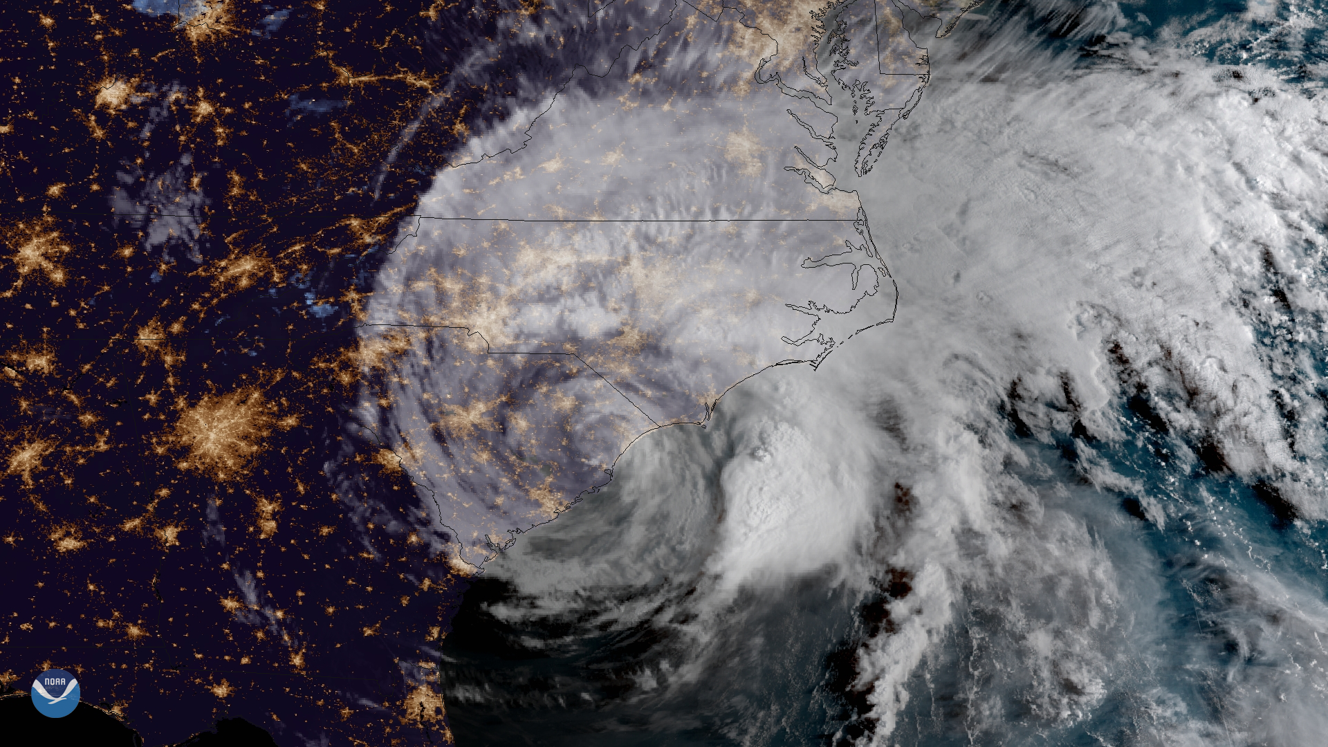
GOES East captured imagery of Tropical Storm Florence over the Carolinas on Sept. 15, 2018.
Feature Story
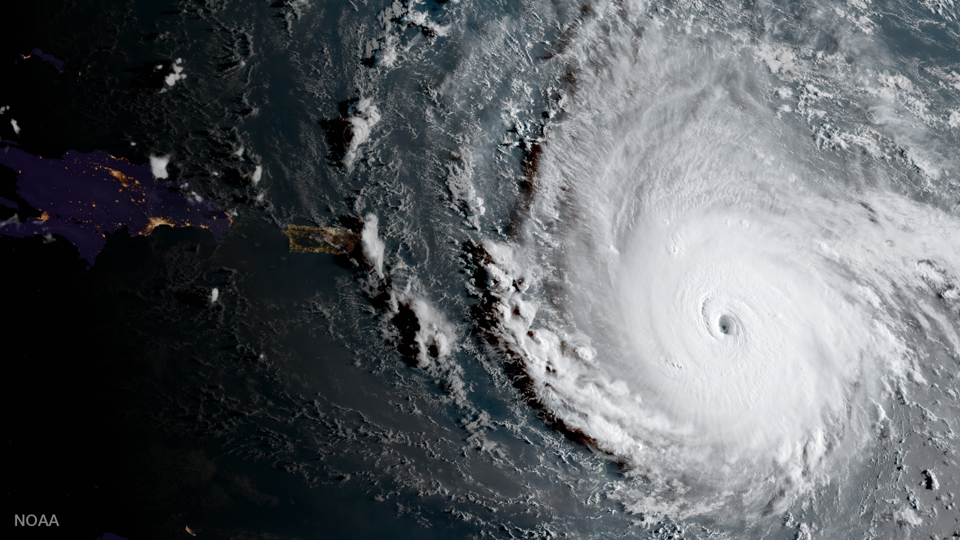
One of the strongest storms ever recorded in the Atlantic, Hurricane Irma left behind a trail of destruction from the Caribbean to the Florida Keys.
Feature Story
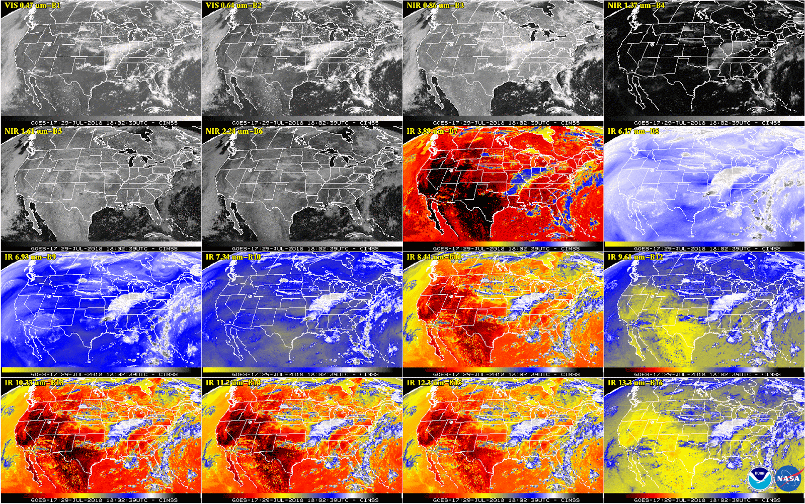
This week, NOAA will begin releasing GOES-17 Advanced Baseline Imager (ABI) “beta” level data and imagery.
Feature Story
This new imagery shows data are currently available from all 16 ABI channels.
Satellite Snapshots

GOES East captured imagery of Hurricane Hector and two new tropical storms, John and Ileana, in the East Pacific on Aug. 6, 2018.
Feature Story
This week, top officials from NOAA shared new updates on efforts to resolve the technical issues impacting the performance of…
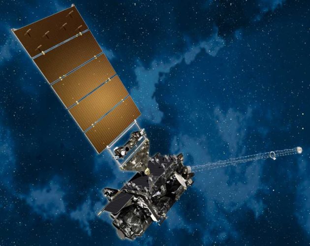
Feature Story

This is an introduction to NOAA's GOES-R Series Satellites - including GOES-R GOES-16 GOES East and GOES-S GOES-17 GOES West. The GOES-R Series, NOAA…
Satellite Snapshots
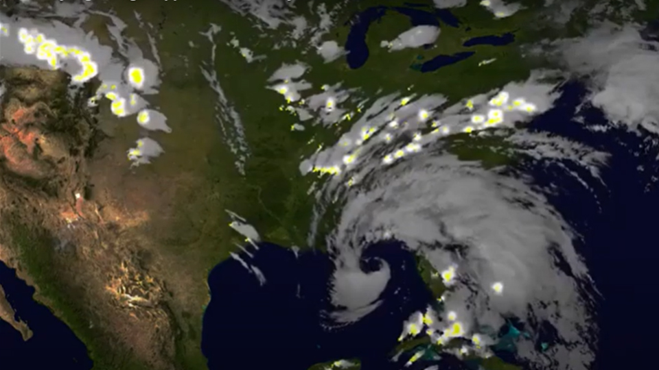
NOAA GOESEast satellite imagery of Alberto also captured the lightning during landfall within the storm - this data helps give forecasters an…